
 E-Paper



Rain, thunderstorms likely over western Himalayan region this week
A north-south trough (area of low pressure) runs from Marathwada to south coastal Tamil Nadu across North Interior Karnataka, Telangana and Rayalaseema. Under its influence, scattered to fairly widespread rainfall or thunderstorm is very likely over Kerala and Mahe


There is likely to be widespread rainfall over the western Himalayan region from April 27, according to India Meteorological Department.
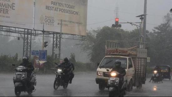
A fresh feeble Western Disturbance affecting the region will cause isolated to widespread rainfall/snowfall with thunderstorm and gusty winds over Jammu, Kashmir, Ladakh, Gilgit, Baltistan, Muzaffarabad, Himachal Pradesh and Uttarakhand till April 30.
Also Read | Mercury rises slightly, light shower possible this week in Mumbai
A north-south trough (area of low pressure) runs from Marathwada to south coastal Tamil Nadu across North Interior Karnataka, Telangana and Rayalaseema. Under its influence, scattered to fairly widespread rainfall or thunderstorm is very likely over Kerala and Mahe and isolated to scattered rainfall/thunderstorm over Maharashtra and remaining parts of south peninsular India during the next 4-5 days. Heavy rainfall is also likely over north Kerala on April 28 and 29 and over south Interior Karnataka on April 28 and 29. Strong surface winds (speed reaching 20-30 kmph) are very likely over Punjab, Haryana, Chandigarh, Delhi and north Rajasthan on April 26. Heat wave conditions are very likely in isolated pockets over Gujarat and coastal Odisha on April 25 and 26.


