
 E-Paper



Rain, thunderstorms likely over western Himalayas during next 5 days: IMD
A Western Disturbance as a trough (area of low pressure) in mid and upper tropospheric westerlies is affecting the western Himalayan region, said India Meteorological Department


Rain and thunderstorms are likely to impact the western Himalayan region, including parts of the northwestern plains during the next five days, according to India Meteorological Department.
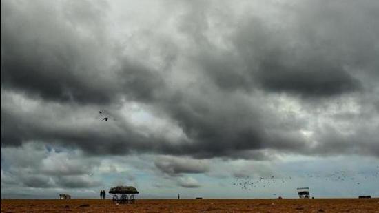
A Western Disturbance as a trough (area of low pressure) in mid and upper tropospheric westerlies is affecting the western Himalayan region. Isolated rainfall is likely over the western Himalayan region during the next five days except over Jammu & Kashmir, Ladakh, Gilgit-Baltistan and Muzaffarabad where scattered to fairly widespread rainfall is likely on March 16 and 17. Very light rainfall is likely over the northwestern plains during March 18 to 19 and isolated thunderstorms with lightning are likely over the region on March 18.
Also Read | India only G-20 country implementing Paris accord commitments: Javadekar
Due to the interaction of mid-level westerlies and lower level easterlies, thunderstorm and hailstorm activity is likely over Madhya Pradesh, Madhya Maharashtra, Marathwada, Vidarbha during March 18 to 20.
Widespread rainfall is also likely over Arunachal Pradesh during the next three days which will decrease thereafter; isolated rain or thundershower is likely over Arunachal Pradesh, Assam and Meghalaya during March 15 to 19.
Saurashtra qnd Kutch are likely to record heatwave conditions during the next two days.
Meanwhile, Delhi weather has been warm. On Monday, the maximum temperature in the national Capital settled three notches above the season’s average at 32 degrees Celsius (°C), IMD said.
IMD also predicted a partly cloudy sky on Tuesday and the maximum and minimum temperatures to hover around 33°C and 16°C respectively. (With agency inputs)


