
 E-Paper



Southwest monsoon hits Kerala: IMD
According to IMD’s National Weather Forecasting Centre (NWFC), the monsoon has advanced into all of the south Arabian Sea; Lakshadweep, most parts of Kerala and even some parts of Tamil Nadu.


India Meteorological Department (IMD) authorities announced the onset of monsoon in the country on Monday morning, keeping its annual date with June 1.
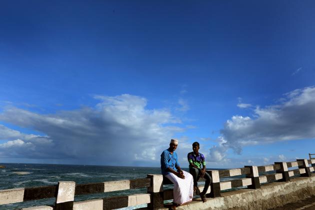
According to IMD’s National Weather Forecasting Centre (NWFC), the monsoon has advanced into all of the south Arabian Sea; Lakshadweep, most parts of Kerala and even some parts of Tamil Nadu. Kozhikode in Kerala received 15 centimetres (cm) of rainfall from Sunday morning till Monday 8:30 am, Thiruvanthapuram and Kannur also received 6 cm each.
“Kerala received very good rains and monsoon is advancing well. The very strong winds are moving towards the westerly and south-westerly direction. All the parameters for the onset of monsoon have been met,” said K. Sathi Devi, head, NWFC.
IMD’s monsoon onset guidelines stipulate that 60% of its 14 stations enlisted in Lakshadweep, Kerala and coastal Karnataka must report rainfall of 2.5 millimetres (mm) or more for two consecutive days after May 10 along with strong westerlies. Usually, southwest monsoon sets in over Kerala around June 1. It advances northwards and spreads across the country by July 15.
Monsoon rains are critical for the country’s farmers.
Around 60% of the country’s net-sown area does not have any form of irrigation. Millions of farmers wait for the rains to begin sowing of major Kharif crops such as rice, sugar, cotton, coarse cereals, and oilseeds. Half of India’s farm output comes from summer crops dependent on monsoon rains.
The Gujarat and Maharashtra coasts have been put on pre-cyclone watch amid the onset of monsoon in the country on Monday.
The well-marked low-pressure area over the south-east and adjoining east-central Arabian Sea and Lakshadweep area have concentrated into a depression on Monday morning.
It is located about 370 kilometres (km) southwest of Panjim; 690 km south-southwest of Mumbai and 920 km south-south-west of Surat. The depression likely to intensify into a deep depression in the next 12 hours and a severe cyclonic storm, called Nisarga, by Wednesday.
IMD authorities show that Nisarga will cross very close to the Mumbai coast while entering the land.
Initially, Nisarga is likely to move nearly northwards till Tuesday morning and then recurve north-northeast wards and cross north Maharashtra and south Gujarat coasts between Harihareshwar (Raigad, Maharashtra) and the Union Territory of Daman on Wednesday evening. When it crosses the coast as a severe cyclonic storm it will have a wind speed of 105 to 115 km per hour (kmph) gusting up to 125 kmph. Very heavy to extremely heavy rain is expected in Konkan, Goa, parts of Maharashtra and Gujarat till Thursday, according to IMD.


