
 E-Paper



Temperatures likely to rise over NW India in the next 3-4 days
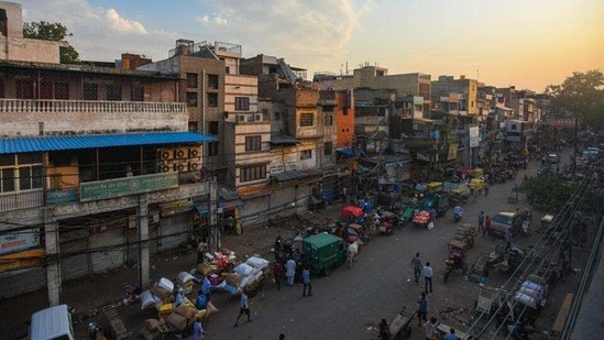
The maximum temperature in Delhi on Saturday was 27.3 degree C, three degrees above normal and minimum was 10.4, one degree C below normal


Temperatures are likely to rise by three to five degrees Celsius over most parts of northwest India in the next three to four days due to increase in moisture and variable wind direction, according to the regional meteorological centre, Delhi.
This is also due to the two western disturbances that are likely to bring rain and thunderstorms to the western Himalayas. The first western disturbance started approaching on Friday while the second one is likely to approach on February 22. The impact of the WDs is likely to be concentrated in the hills.
“The impact of the WDs will be limited to the hills mainly in Jammu and Kashmir, Himachal Pradesh and upper reaches of Uttarakhand. Light rain is also likely over Punjab, but over the rest of northwest India temperatures will rise due to increase in moisture and variable wind direction. Normally temperatures go up when there is a WD,” said Kuldeep Shrivastava, head, regional weather forecasting centre.
Light to moderate rainfall/snowfall is very likely over Jammu, Kashmir, Ladakh, Gilgit, Baltistan and Muzaffarabad and isolated to fairly widespread rainfall/snowfall is likely over Himachal Pradesh during the next 5 days and over Uttarakhand on February 23 and 24. Thunderstorm and lighting is also likely over Jammu, Kashmir, Ladakh, Gilgit, Baltistan and Muzaffarabad during the next 5 days and over Himachal Pradesh and Uttarakhand during February 22 to 24. Hailstorm is also likely over parts of Jammu, Kashmir, Ladakh, Gilgit, Baltistan and Muzaffarabad on February 21 and 22 and over Uttarakhand on February 22, 23 and 24.
There is a forecast for heavy rainfall or snowfall over Jammu, Kashmir, Ladakh, Gilgit, Baltistan and Muzaffarabad on February 22, according to IMD’s Saturday bulletin.
The maximum temperature in Delhi on Saturday was 27.3 degree C, three degrees above normal and minimum was 10.4, one degree C below normal.
A trough (area of low pressure) is likely in westerlies from northeast Bihar to southeast Arabian Sea across Jharkhand, Chhattisgarh, Telangana, Rayalaseema, South Interior Karnataka and north Kerala and another trough in low level easterlies lies over westcentral Bay of Bengal and runs from off north Tamilnadu coast to south Odisha coast at lower tropospheric levels. Under its influence moderate rainfall is very likely over Andhra Pradesh, Yanam, Telangana, Karnataka, Tamil Nadu, Puducherry, Karaikal and Kerala and Mahe during the next three days.
Also Read: Only 50% covered, Delhi may continue jabs for health staff
Dense to very dense fog in isolated/some pockets is very likely over Punjab, Haryana, Chandigarh, Delhi, West Uttar Pradesh in the morning hours of February 21 and 22.
"Maximum temperatures over many parts of northwest India are already three to five degrees above normal. Now the minimum will also rise as humidity increases and warm winds start blowing due to consecutive WDs," said Mahesh Palawat, vice president, climate change and met at Skymet Weather



