E-Paper


Tornado near Port St. Lucie? Jensen Beach videos surface as Stuart, Walton under warning
The footage appears to show a possible funnel cloud or severe thunderstorm in the area as tornado warning was issued for parts of St. Lucie and Martin counties.

 Prefer HTon Google


Videos allegedly showing conditions near Port St. Lucie and Jensen Beach, Florida, have surfaced on social media. The videos appear to show a possible funnel cloud or severe thunderstorm in the area as a tornado warning was issued for parts of St. Lucie and Martin counties on Sunday.
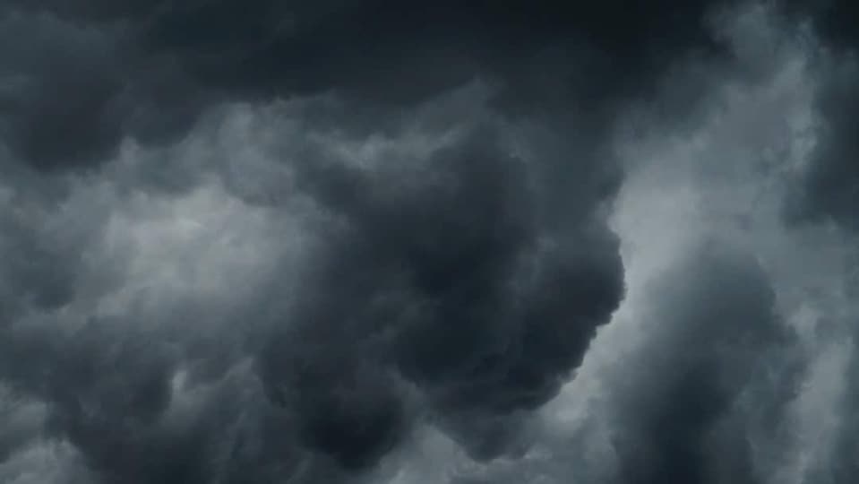
There has been no independent confirmation of a tornado touchdown in the area at this time. Walton and Stuart were among the communities mentioned in the warning, while the St. Lucie Nuclear Power Plant is located within the affected region.
Residents share videos
Several local residents took to social media to share videos of the funnel cloud, with some saying they believed it was a tornado.
One resident wrote on X, "Make sure you’re all safe!! Had a Tornado starting behind my house."
Another added, "We just got a lil afternoon tornado where I live. Just a typical Florida thunderstorm lol,"
Tornado Warning issued for parts of St. Lucie and Martin counties in Florida
The National Weather Service in Melbourne issued a Tornado Warning for southeastern St. Lucie County and northeastern Martin County in east-central Florida on Sunday. The warning was in effect until 7 p.m. EDT.
At around 6:28 p.m. EDT, the National Weather Service said a severe thunderstorm capable of producing a tornado was located over Walton and was nearly stationary. Radar indicated rotation associated with the storm.
The warning identified the main hazard as a tornado and cautioned that flying debris could be dangerous. The storm could also damage or destroy mobile homes and cause damage to roofs, windows, vehicles and trees.
Areas in the storm's path
The National Weather Service said the storm could affect Walton, Stuart and the St. Lucie Nuclear Power Plant around 6:30 p.m. Other locations mentioned included Hutchinson Island South.
Residents in the warned areas were urged to take shelter immediately and move to an interior room on the lowest floor of a sturdy building, away from windows.
The warning stated, "TAKE COVER NOW! Move to an interior room on the lowest floor of a sturdy building. Avoid windows. If you are outdoors, in a mobile home, or in a vehicle, move to the closest substantial shelter and protect yourself from flying debris."
The warning was based on radar-indicated rotation, which means a tornado was not necessarily confirmed on the ground.