
 E-Paper



Delhi govt completes virtual mapping of Yamuna floodplains; physical starts Sep 1
DDA has called for a tender to erect bollards and signages from September 1 which will also help identify encroachments


The Delhi government has completed a virtual demarcation of Yamuna floodplains that have a 4% chance of flooding every year (one-in-25-year floodplains) and 1% chance of flooding every year (one-in-100-year floodplains). The government will start physically demarcating this area from September 1 onwards, Delhi’s environment department has said. It told the National Green Tribunal (NGT) that the Delhi Development Authority (DDA) has called for a tender to erect bollards and signages from September 1 which will also help in identifying encroachments in the floodplains.
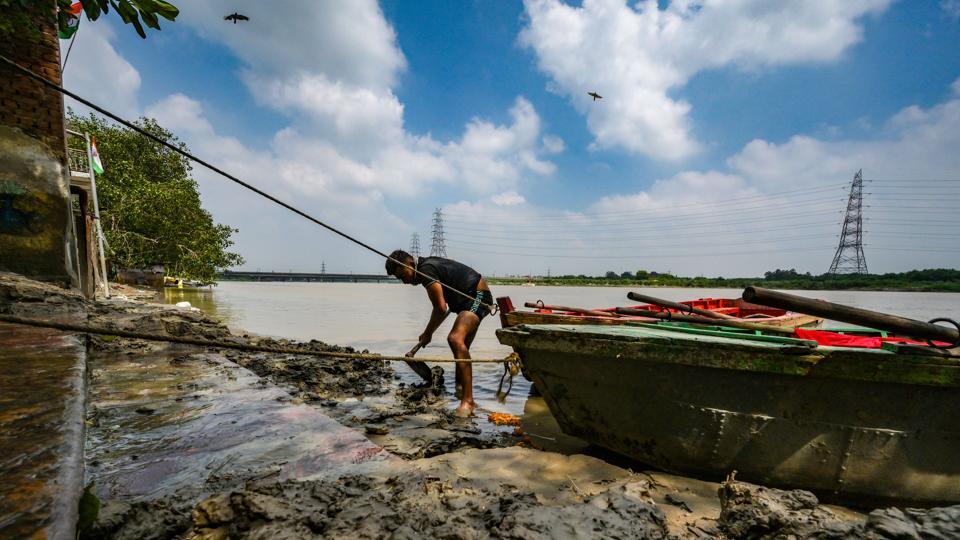
NGT had in October 2024 taken suo motu cognizance of a media report and formed a joint committee headed by the Delhi chief secretary to identify, demarcate and notify the floodplains of the Yamuna as per the River Ganga (Rejuvenation, Protection and Management) Authorities Order, 2016. It said that the delineation of the Yamuna was required to prevent illegal developments in the floodplains.
“A review meeting in compliance with the order was held on June 19 under the chairmanship of the additional chief secretary (environment) to review progress,” said the submission to NGT by the environment department, dated August 12, adding that the irrigation and flood control (I&FC) department paid ₹80 lakh for “scientific assessment of impact on flood prone area” for Delhi to identify the impacted area. It referred to the areas impacted by the 2023 floods, when the Yamuna touched a record level of 208.66m, its highest ever recorded level.
For the exercise, Central Water and Power Research Station in Pune was roped in, which is expected to complete any remaining data gaps by August 31, 2025.
A one-in-25-year floodplain includes and refers to land along a river which has a one-in-25 or 4% chance of flooding every year. A one-in-100-year floodplain includes land along the river that even has a one-in-100 or 1% chance of flooding each year.
“The matter was discussed and after deliberations it was directed that wherever anomaly exists, the outermost boundary of the floodplain map be considered as 1:100 boundary and the demarcation be done accordingly. The Additional Chief Secretary (Env & Forest), directed GSDL and IFCD to resolve the anomaly regarding 1:25 and 1:100 years floodplain with proper coordinates,” the report said, adding that the map of the 1:100 area has already been shared with DDA.
DDA, meanwhile, has told the government that it was still carrying out a survey along the floodplains within Zone “O” of the river, with encroachments to be removed accordingly. So far, 814 hectares of encroached land in O-zone has been reclaimed, it has told the environment department, the affidavit said.

Stay updated with all top Cities including, Bengaluru, Delhi, Mumbai and more across India. Stay informed on the latest happenings in World News along with Delhi Election 2025 and Delhi Election Result 2025 Live, New Delhi Election Result Live, Kalkaji Election Result Live at Hindustan Times.


