
 E-Paper



Gurugram’s built-up area grew 64% in a decade, GMDA GIS study finds
The assessment maps growth corridors till 2030 using satellite imagery and AI, helping authorities plan roads, drainage, transport and utility infrastructure.

 Prefer HTon Google


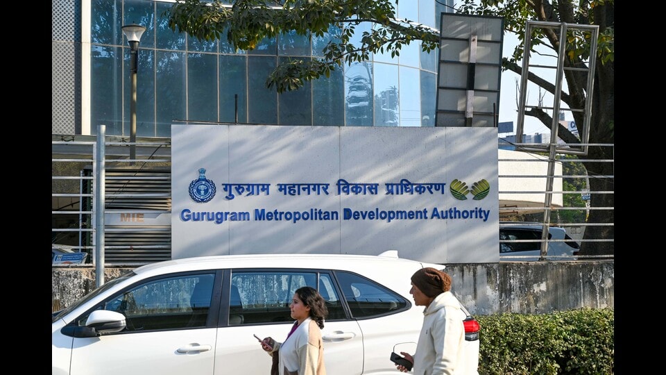
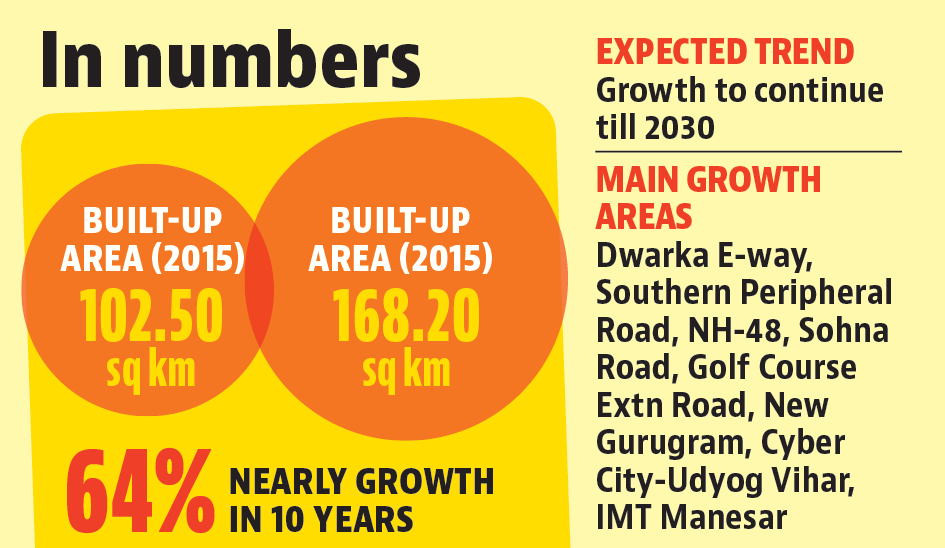
Gurugram’s built-up area expanded by nearly 64% over the last decade, from 102.50 sq km in 2015 to 168.20 sq km in 2025, according to a geospatial study by the Geographic Information System (GIS) division of the Gurugram Metropolitan Development Authority (GMDA). The study projects that the city will continue expanding along major development corridors till 2030, prompting the need for integrated infrastructure planning, officials said.
GMDA officials said the findings will be used to plan future infrastructure. The study found that urban growth has been concentrated along Dwarka Expressway, Southern Peripheral Road (SPR), NH-48, Golf Course Extension Road, Sohna Road, New Gurugram, Cyber City-Udyog Vihar and IMT Manesar.
PC Meena, chief executive officer, GMDA, said the GIS study provides “a scientific basis for planning roads, stormwater drainage, water supply, sewerage, public transport, intelligent traffic management systems and other urban infrastructure in line with Gurugram’s evolving development pattern”.
“The GIS study provides valuable spatial insights into Gurugram’s growth pattern and helps us anticipate future infrastructure requirements. Such scientific assessments enable informed planning decisions and ensure that infrastructure development keeps pace with urban expansion,” he added, saying the study would also support scientific assessment of land-use patterns, prioritisation of investments and long-term urban planning.
Senior scientist and head of the GIS section of GMDA, Dr Sultan Singh, said the assessment used high-resolution satellite imagery, GIS, statistical analysis and advanced machine-learning models to map urban growth and forecast expansion. “The study achieved an overall mapping accuracy of more than 92%, providing a robust assessment of land-use change across the city,” he said.
According to the GMUC Master Plan 2031, Gurugram has 32,988 hectares of urbanisable land, including 16,021 hectares for residential use, 4,613 hectares for industry, 4,428 hectares for transport and communication, 2,928 hectares for open spaces, 2,027 hectares for public and semi-public facilities, 1,616 hectares each for commercial use and development, 608 hectares for public utilities, 633 hectares for defence land and 114 hectares for special zones.


Stay updated with all top Cities including, Bengaluru, Delhi, Mumbai and more across India. Stay informed on the latest happenings in World News along with Delhi Election 2025 and Delhi Election Result 2025 Live, New Delhi Election Result Live, Kalkaji Election Result Live at Hindustan Times.


