
 E-Paper



March madness: Rain, hail in Lucknow and more to come
The Met department has issued a warning of thunderstorms accompanied by lightning likely at isolated places over the state


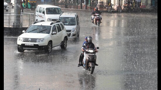
The outskirts of Lucknow experienced a hailstorm on Tuesday while most parts of the state capital witnessed rain at around 3 pm for the second consecutive day that pulled the day temperature down.
The Met department has issued a warning of thunderstorms accompanied by lightning likely at isolated places over the state. Hailstorms are very likely at isolated places over West UP. Strong winds (25-35 kmph) are also likely at a few places over the state.
The forecast for Lucknow is partly cloudy skies with light to moderate rain/thundershowers and lightning in some areas. The maximum and minimum temperature is very likely to be 30 and 17 degrees Celsius, respectively. The state forecast is rain/thundershower likely at many places.
On Tuesday, Lucknow experienced 10.3 mm of rainfall with maximum and minimum temperatures of 28 and 17 degrees Celsius, respectively. It was bright and sunny in the morning but after 3 pm it turned overcast and rained briskly for a good 45 minutes.
According to locals, a hailstorm was reported from Nagram, Malihabad, Mal, Bakshi Ka Talab areas and the farmers claimed that it had destroyed the wheat, mustard and other crops that were ready for harvest. Met officials added that Itaunja and Barabanki too experienced hail.
The prevailing Western disturbance has phased out on Tuesday night and a fresh western disturbance will get active from March 23 over the state due to which some parts of West UP and isolated parts of East UP will experience rain from March 24. The influence of the Western disturbance will end by March 25.
West UP experienced maximum rain in recent times with Meerut getting 90 mm, Bareilly 85.2 mm, Bijnor 75 mm on Monday, said Lucknow Met in-charge, Mohd Danish.
On Tuesday, Shahjhanpur got 31 mm rain, Moradabad and Bahraich 14 mm, and Lakhimpur Kheri 11 mm rain.


