Wildlife institute banks on US satellite pics for road survey in Corbett Reserve
High-resolution satellite pictures are expected to help the Wildlife Institute of India in its survey for the 164-km proposed road, 40 km of which passes through the core area of the Corbett Tiger Reserve.
In a first in India, the Wildlife of Institute of India (WII) in Dehradun will use high resolution pictures from World View-4 satellite, operated by an American firm to study tree density in Corbett Tiger Reserve (CTR) through which 118 km of a proposed 164-km road passes.

The exercise is part of a survey to prepare a project report in a time-bound manner of the 164-km long inter-state road connecting Kumaon and Garhwal regions. Last month, the WII had signed a Memorandum of Understanding (MoU) with Uttarakhand forest department to conduct the survey.
The World View-4 satellite provides high precision pictures of 30 cm above the ground that make the data highly reliable. WII director VB Mathur said high-resolution pictures from World View-4 satellite will be used to study tree density in the forest stretch.
“Around 118 km of the proposed 164-km road passes through the CTR, 40 km of which is in the core area. For this we need an accurate data and World View-4 has accuracy as low as less than 5m and resolution of 30 cm,” Mathur said on Tuesday. “The images will be helpful in making a better development and conservation plan,” he added.
The 164-km long proposed road is an old project that aims to shorten the distance between the Kumaon and Garhwal regions of the state by 70 km. Currently, commuters have to cross Uttar Pradesh to reach one region of the state from another. A stretch of the road passes through Corbett adjoining Amangarh division of Uttar Pradesh that serves as a buffer. This road is currently used by the Corbett Tiger Reserve staffers for patrol and movement.
In the run up to assembly elections last year, Union minister of roads and surface transport, Nitin Gadkari promised the road. Uttarakhand’s forest minister Harak Singh Rawat is particularly interested in the project as the road passes through his constituency Kotdwar.
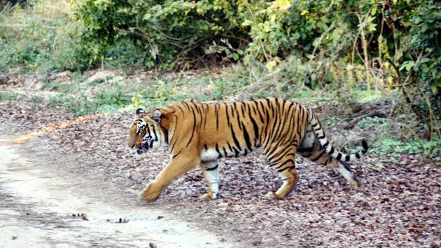
But there are apprehensions about the road as a WII survey conducted in 2011 recorded regular movement of big cats across the stretch. Corbett is home to 240 tigers according to the 2015 tiger census.
“The study reported active movement of tigers in the area. But, we are going to start a fresh study on ground to record the big cats again,” Bivash Pandav, big cat expert and in-charge of the project at WII said.
WII has constituted 16-member team comprising eight faculty members and eight researchers which will complete the ground survey within a year and submit a report to the forest department. The exercise starts next week. During the study, ground signs and images from World View will be studied to decide about the construction of road.
The study will help the Institute in suggesting options for construction like alignment and elevation of the road.


