
 E-Paper



Weather Bee: How did Rajasthan flood last week?
Unusual rains make most places vulnerable to floods because drainage infrastructure is generally designed based on historical trends or climate of the place.

 Prefer HTon Google


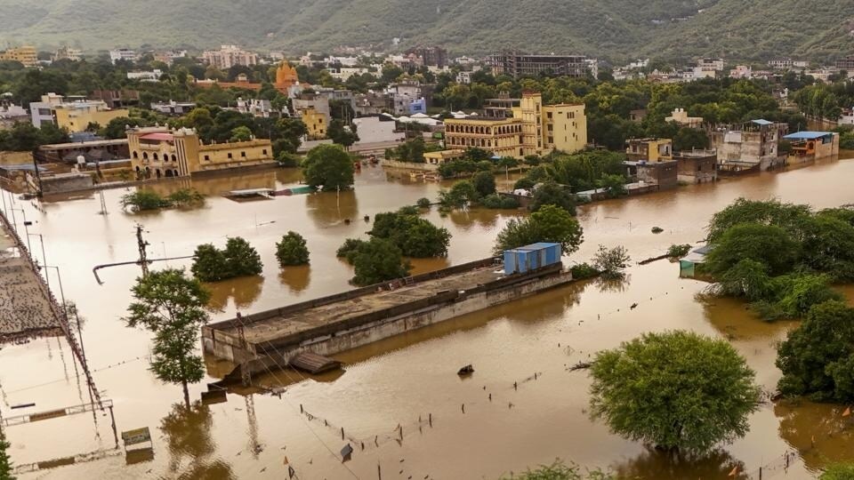
The heavy spell of rain last week that travelled from West Bengal and Jharkhand to the areas bordering Uttar Pradesh and Madhya Pradesh, and finally to Rajasthan, does not appear usual even for the monsoon season. The spell triggered a flood-like situation in parts of Rajasthan, India’s most arid state, resulting in at least 10 deaths across the state between Saturday and Sunday. While a state like Rajasthan can possibly get flooded with even less intense rainfall, an HT analysis shows that last week’s spell in Rajasthan, and the other places, was indeed intense. What caused this? The immediate reason was a system of twin storms that lingered over parts of central and north-western India. However, there is also a long-term reason why Rajasthan should prepare for such heavy, flood-inducing rains in the future.
The intensity of last week’s spell over central and north-western India is evident in the data. The precipitation recorded in the week ending July 20 was more than thrice in many of the affected parts when compared to the average for the same week in the 1971-2020 period. The India Meteorological Department (IMD) calls the 1971-2020 average the Long Period Average (LPA) – the benchmark that serves to gauge rainfall. The regions where this excess was recorded was a narrow band running along the borders of Bihar-Jharkhand, Uttar Pradesh-Madhya Pradesh, and large parts of Rajasthan.

Unusual rains make most places vulnerable to floods because drainage infrastructure and built-up areas are generally designed according to historical trends in rainfall or the climate of the place. However, even a small amount of rain can appear unusual in Rajasthan, so HT also analysed rain in absolute terms. This showed that last week’s rainfall in the region, as mentioned above, was intense even by standards agnostic to the climate of the place. For example, IMD classifies rain in the 7.5-35.5 mm range at a place in 24 hours as ‘moderate’. Average daily rain in the week ending July 20 met this threshold for the entire region described above. For parts of the region, the average for the week was more than 35.5 mm, which IMD classifies under different categories of ‘heavy’ rain.

HT looked at rain averaged over the course of a week, because it helps in flagging two scenarios that essentially lead to flooding: One, moderately intense rain spread over a week, which does not allow water to dry and percolate into the ground; and two, very intense spells spread over a day or two that can overwhelm natural and man-made drainage systems not designed to handle such volumes.
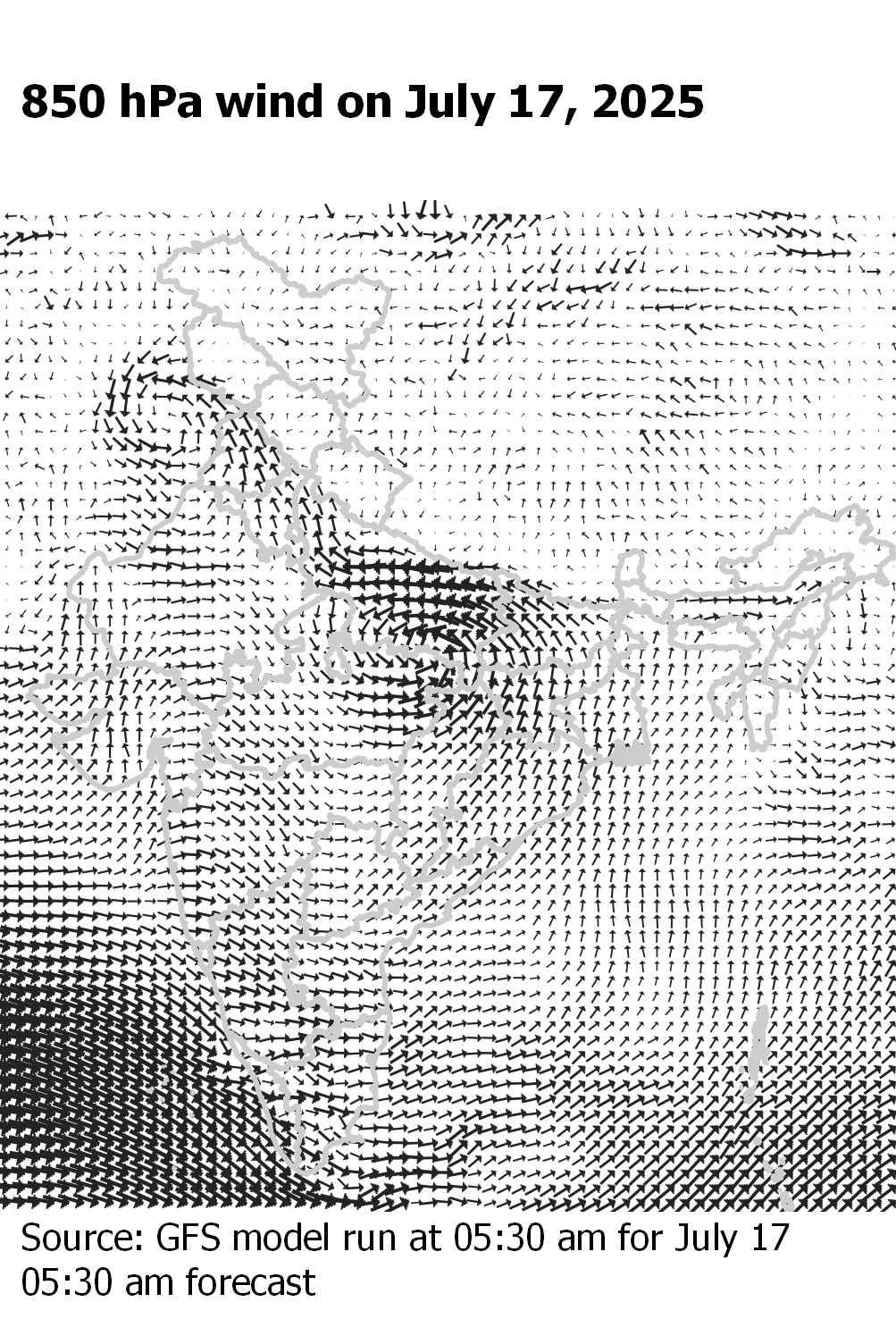
Why was rainfall intense even when looking at rain averaged over a week? The immediate reason for this is the development of two storms, one after another, that travelled the affected region. This can be seen in the accompanying maps of 850 hPa winds, which are winds at a height of 1.5km above earth’s surface – the meteorological conditions here are strong predictors of how storms move. On July 14, the first day of the week analysed here, there was one storm at the Rajasthan-Madhya Pradesh-Uttar Pradesh border (seen in the cyclone-like anti-clockwise movement of relatively faster winds there) and another at the West Bengal coast. By July 17, when the former had travelled across the Punjab border to Pakistan, the latter was making its way almost in the former’s footsteps. This second storm — it had wind speed fast enough to be classified as ‘depression’, two categories below a cyclone — also travelled all the way to Pakistan, but through Rajasthan. This explains why rain was unusually intense in central and north-western India last week.


To be sure, while these storms can possibly be an isolated event, monsoon rain has been intensifying over Rajasthan, Gujarat, and parts of Madhya Pradesh over a longer term. HT pointed this out in September 2024 using a paper published in Geophysical Research Letters by Ligin from the University of Southampton and other researchers. As the paper explains, monsoon rain in Rajasthan, Gujarat, and parts of western Madhya Pradesh, is intensifying because winds from the Arabian Sea into the region have become stronger and those away from the region, weaker. This allows moisture to accumulate in the region, a trend that is expected to continue in the future. This is why these regions must prepare for a rainier monsoon than they are used to.



