
 E-Paper



IMD predicts heavy rain in parts of India
Atmospheric low pressure and depressions lead to heavy rainfall and cyclones in the Indian subcontinent.

 Prefer HTon Google


There will likely be showers over central and western parts of India in the next 4-5 days, the India Meteorological Department predicted on Sunday, even as Cyclone Gulab hit the country’s east coast between Kalingapatnam in Andhra Pradesh and Gopalpur in Odisha.
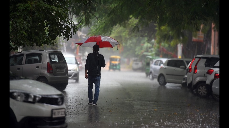
“ We can expect widespread rain over central India in the next few days. There is a trough passing from Bay of Bengal to the Pacific, where cyclonic circulations and tropical storms are forming one after the other,” said Sunitha Devi, in-charge, cyclones, IMD. “The remnants of these storms are causing development of depressions and low pressure areas over Bay of Bengal this month.”
Atmospheric low pressure and depressions lead to heavy rainfall and cyclones in the Indian subcontinent. Cyclone Gulab is likely to have a wind speed of 75 to 85 km per hour, with wind gusts of 95 kmph during landfall, before weakening and moving towards central India as a low-pressure system, the Met department said.
Light to moderate rainfall at most places with extremely heavy rain at isolated places is likely over Vidarbha, south Chhattisgarh and Telangana; heavy to very heavy rain at isolated places over Konkan and Goa, central Maharashtra, Odisha, Marathwada in the next 2-3 days, IMD said. “As the cyclone weakens, the remnant will move towards central India bringing rain to central India and west India including Maharashtra and Gujarat at least for next 2-3 days,” said M Mohapatra, director general, IMD.
On Tuesday, moderate rainfall at most places with extremely heavy rain of over 20 cm is likely at isolated places over Gujarat, central Maharashtra, Konkan and Goa. Heavy to very heavy rain is also likely at isolated places over Saurashtra, Kutch and Marathwada.
There might be a cyclonic circulation on September 28 over east-central Bay of Bengal with a similar pattern of movement as Cyclone Gulab. However, there is no probability of another cyclone forming, IMD scientists said.
The southwest monsoon is unlikely to withdraw in the next week, according to Mahesh Palawat, vice president, climate change and meteorology at private forecaster Skymet Weather. “Patchy rain will continue over northwest India including Delhi NCR (national capital region). Monsoon may finish with normal rainfall around 99% of LPA,” Palawat said. LPA is short for long-period average of rainfall between 1961 and 2010.
Monsoon rainfall was deficient by 2% as on Sunday, with 12% deficiency over east and northeast India; 4% deficiency over northwest India; 0% excess over central India and 9% excess over peninsular India.
The overall deficiency at the end of August was nine percent. The IMD in its forecast on September 1 said that owing to above normal rains in September, the overall southwest monsoon rains this year may be in the “lower end of normal category”.
The weather department considers 96% to 104% of LPA to be normal. But considering that widespread rainfall is likely to continue till the end of the month, total rainfall may increase further. There was 9.6% excess rain at the end of June; 6.8% deficiency in July; 24% deficiency in August and 28.8% excess in September, making it the most active month.
The extended range model guidance of the IMD is indicating widespread rain over the country till October 7 and patchy rain till October 14. The monsoon typically withdraws from northwest India from September 16.


