
 E-Paper



Northwest India to see 3-5°C above-normal day, night temperatures next week: IMD
Since January 1, the country has recorded a 59% rainfall deficiency overall, data from the India Meteorological Department showed.

 Prefer HTon Google


Day temperatures across large parts of northwest India are likely to remain 3-5°C above normal over the coming week, the India Meteorological Department (IMD) warned on Friday, adding that night temperatures in several states are already significantly higher than usual.
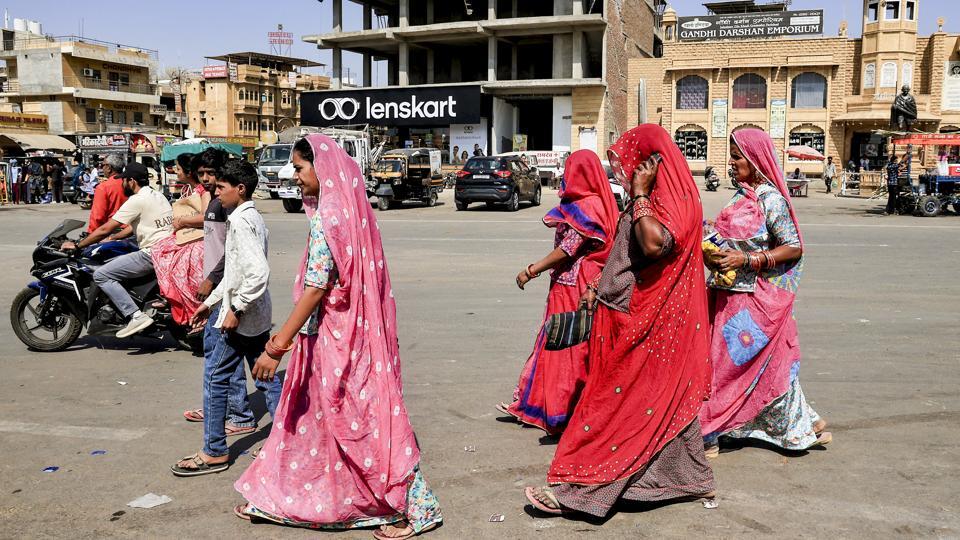
According to the IMD, minimum temperatures are currently 3-5°C above normal in parts of the region, especially Jammu and Kashmir, Rajasthan and Punjab, and are expected to remain elevated next week.
Maximum temperatures were markedly above normal (over 6.5°C) in Jammu and Kashmir; appreciably above normal by 3-5°C in Himachal Pradesh, Punjab, Haryana, Chandigarh and Delhi, Rajasthan, Uttar Pradesh and Gangetic West Bengal; and by 2-3°C in Madhya Pradesh, Vidarbha and Assam. Temperatures were near normal in the rest of the country.
Minimum temperatures were appreciably above normal by 3-5°C in Jammu and Kashmir, Punjab, Rajasthan, Gujarat and Assam; and above normal (1.6°C to 3.1°C) in Himachal Pradesh, Uttarakhand, Delhi, Uttar Pradesh, Bihar, Madhya Pradesh, Maharashtra, Odisha, South Interior Karnataka, Coastal Andhra Pradesh, Yanam, Rayalaseema, Tamil Nadu, Kerala and Mahe. They remained near normal in other regions.
“Ahead of Holi (on March 4), day and night temperatures may be high. Day temperatures are especially likely to be about 4°C above normal. This is mainly because of clear skies and absence of any weather activity,” said Mahesh Palawat, vice president, climate and meteorology, Skymet Weather.
On Friday, Safdarjung recorded a maximum temperature of 30.2°C, which was 4.1°C above normal.
Meanwhile, the IMD also said that an upper air cyclonic circulation lies over Kutch and neighbouring areas in lower tropospheric levels. Another such circulation is over south interior Karnataka. A trough extends from north Tamil Nadu to south West Madhya Pradesh in the lower tropospheric levels. An upper air cyclonic circulation is also present over West Rajasthan and adjoining Pakistan. A cyclonic circulation lies over Kerala and adjoining areas, and another over northeast Assam. A trough is running from southeast Bay of Bengal to south Tamil Nadu. A feeble western disturbance is currently affecting the western Himalayan region, while a fresh western disturbance is likely to impact the region from the night of March 2.
The department said maximum temperatures are likely to rise gradually by 2-4°C over the plains of northwest India during the next seven days and remain 3-5°C above normal in many parts of the region this week. No significant change in maximum temperatures is expected over central India in the next 24 hours, followed by a gradual rise of 2-4°C over the subsequent six days. East India is also likely to witness a gradual rise of 2-3°C over the next three days, with no significant change thereafter.
Since January 1, the country has recorded a 59% rainfall deficiency overall, including a 90% deficit over east and northeast India, 53% over northwest India, 78% over central India and 1% over south peninsular India.


