
 E-Paper



Rain, strong winds likely over NW India from April 18 due to western disturbance
Isolated rainfall, thunderstorm & lightning and gusty winds (speed 30-40 kmph) is also likely over adjoining plains of northwest India from April 18 to 20

 Prefer HTon Google


New Delhi: Rain, thunderstorms, lightning, and gusty winds (40–50 kmph), along with isolated hailstorms, are expected across North India on April 18 and 19, as an intense western disturbance is likely to impact the Western Himalayan region until April 20, the India Meteorological Department (IMD) said on Wednesday.
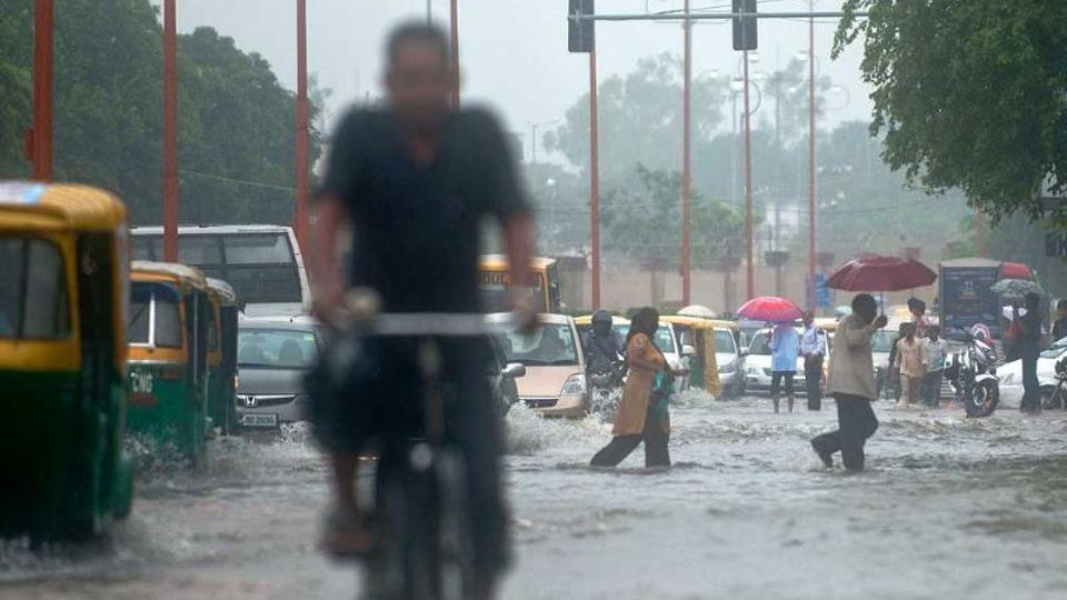
According to IMD, isolated heavy rainfall likely over Jammu and Kashmir and Himachal Pradesh on April 18 and 19. “Isolated rainfall along with thunderstorm & lightning and gusty winds (speed 30-40 kmph) is also likely over adjoining plains of northwest India from April 18 to 20,” the IMD said.
Meanwhile, Rajasthan is likely to witness ‘heat wave’ to ‘severe heat wave’ conditions until April 18, and Gujarat may experience heat wave conditions until April 17. “Isolated dust storm/thunderstorm likely over West Rajasthan and over East Rajasthan on April 17,” the IMD added.
Also Read: Maharashtra likely to witness above-normal rainfall; Marathwada may receive excess rainfall
“A western disturbance is approaching the Western Himalayan region. We can expect heavy to very heavy rainfall especially over Jammu and Kashmir from April 18 to 20. We are not expecting much rainfall over the northern plains but temperature will fall. Heat wave will be abated from Rajasthan and Gujarat after April 17. Heavy rain and snowfall will be limited to Himachal Pradesh and Jammu and Kashmir,” IMD director general M Mohapatra explained.
An upper air cyclonic circulation is present over southwest Rajasthan, second one over East Madhya Pradesh and third over east Assam in lower tropospheric levels.
Also Read: IMD predicts heavy rain in parts of Himachal, sounds orange alert
There is also a trough running from Southwest Rajasthan to Gulf of Mannar, another trough from East Madhya Pradesh to Gangetic West Bengal; and third trough in lower & middle tropospheric westerlies from Sikkim to north Odisha. Under the influence of these systems, scattered to fairly widespread light/moderate rainfall accompanied with thunderstorm, lightning and gusty winds (speed reaching 40-50 kmph) likely over northeast and east India during next 5 days.
Isolated to scattered rainfall accompanied with thunderstorm, lightning & gusty winds (speed reaching 40-50 kmph) likely over the plains of Vidarbha, Chhattisgarh from April 16 to 18. Heavy rainfall is likely over Bihar on April 17; Assam and Meghalaya until April 22; Arunachal Pradesh during April 20 to 22.



