
 E-Paper



Snowfall in hills, light rain likely over parts of NW India today
There may be light rain and thunder in Delhi between Friday night and Saturday morning. Scattered rainfall is also very likely over Haryana, Chandigarh and Punjab on these two days


A Western Disturbance is likely to bring widespread and heavy snowfall over parts of Jammu and Kashmir and Himachal Pradesh and scattered snowfall over Uttarakhand on Friday and Saturday.
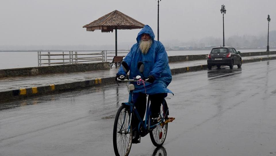
In association with the Western Disturbance, there may be light rain and thunder in Delhi between Friday night and Saturday morning.
Scattered rainfall is also very likely over Haryana, Chandigarh and Punjab on these two days. Due to high moisture feeding from Arabian Sea to northwest India, some parts of the Western Himalayas are also likely to record heavy snowfall today, India Meteorological Department (IMD) has warned in its bulletin.
Thunderstorm accompanied with lightning and hail is likely at some places over Jammu, Himachal Pradesh and Punjab today; over Uttarakhand on Saturday and over Madhya Maharashtra on both days. There may be thunderstorm accompanied with lightning at isolated places over Haryana, Chandigarh and Delhi today and tomorrow.
Dense to very dense fog in isolated pockets is very likely over Uttar Pradesh till December 14; dense fog in isolated pockets is very likely over Bihar, Odisha, West Bengal, Sikkim and Tripura today and tomorrow and over Punjab, Haryana, Chandigarh, Delhi and Uttarakhand on Monday and Tuesday next week.
IMD’s extended range forecast shows that minimum temperatures are likely to fall substantially after December 18 over northwest India.
Air quality ranged from poor to very poor category over cities and towns in northwest India on Friday morning. Delhi recorded an air quality index of 272 in poor category. Kanpur, however, continued to record a severe air quality.


