
 E-Paper



Weak monsoon conditions likely to set in gradually from July 27
Isolated heavy to very heavy rainfall is expected over Himachal Pradesh and Uttarakhand on Thursday and Friday, while Delhi also is likely to get isolated rainfall on July 28

 Prefer HTon Google


Weak monsoon conditions are likely to set in across the country for at least the next one week, with the likely shift of the trough to happen northwards from Wednesday, officials in the India Meteorological Department (IMD) said today.
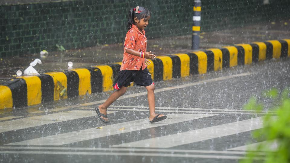
This may come as a relief to states in the agriculture-dependent Indo-Gangetic region, such as Uttar Pradesh, Bihar, Jharkhand and West Bengal, that are dealing with rain deficit.
“There will be an increase in rainfall activity over northern India from Wednesday due to a shift of the monsoon trough (an elongated low-pressure area). There is a low-pressure area lying over northwest and adjoining northeast Arabian Sea. The monsoon trough is likely to continue to shift gradually northwards during the next three days. A fresh western disturbance is likely to affect the Western Himalayan Region from July 28,” the IMD said.
Meanwhile, the weather department has alerted about a cyclonic formation over eastern Rajasthan and adjoining areas, extending up to lower tropospheric levels, adding that a trough is running from the cyclonic circulation to west-central Bay of Bengal, off the Andhra Pradesh coast.
Under the influence of these systems, widespread rainfall, with isolated heavy rains and thunderstorm or lightning, is very likely to occur over Jammu and Kashmir from July 27-30; Himachal Pradesh and Uttarakhand from July 26-30; Rajasthan from July 26-27; Uttar Pradesh and Bihar from July 28-30; north Punjab and north Haryana-Chandigarh from July 27-30.
Isolated heavy to very heavy rainfall is expected over Himachal Pradesh and Uttarakhand on Thursday and Friday, while Delhi also is likely to get isolated rainfall on July 28, IMD officials said.
Also Read:Kharif sowing affected in Gangetic plains due to scant rains in July
“Rainfall is expected to reduce over the country as a whole. But there is likely to be some rain over the northern parts of the country from Wednesday, which is likely to help reduce the deficit in rains over the Indo-Gangetic Plains region. Weak conditions are expected to last for at least a week. We will update based on latest model outcomes if it will last longer,” said M Mohapatra, director general of IMD.
“Weak or break monsoon conditions normally last longer than active monsoon spells. In a way it is good that the monsoon trough is shifting northwards, because the western and central parts of the country are reeling under floods... Also, there is a major rain deficiency over Uttar Pradesh, Bihar, etc... These conditions are likely to last at least till August 5, but may last further. We will have a better picture next week. There is nothing to panic about because the shifting of the monsoon trough is a part of natural variability and expected during the season,” explained M Rajeevan, secretary at the Union ministry of earth sciences.
As of Tuesday, India has logged rainfall in excess of 11%, though the east and northeast swathes of the country have a deficit of 14%. The northwest region has an excess if 1%, 27% excess over the central region and 30% excess over the southern peninsula.
In July alone, the country has had an excess of 24.2% rainfall, with the exception of 47.3% deficit over east and northeast India. Central India has witnessed excess rainfall of 62.8%, while peninsular India has had an excess of 71%; northwest India has clocked an excess of 4.5%.
Till July 25, there was a 54% rainfall deficit over Uttar Pradesh, 45% over Bihar, 49% over Jharkhand and 26% over West Bengal.
The IMD’s extended range forecast indicates scanty rains across the country from August 4-17. “It’s a bit early to say how August will pan out. But for the next two weeks the extended forecast indicates lower than normal rain,” added Mohapatra.
“The paddy crop is expected to revive a bit in the next one week when there are rains over north India. Farmers told us that the paddy crop was on the verge of complete damage. But now there may be a marginal relief for them. The daily average rainfall over the country will reduce over the next two weeks,” explained Mahesh Palawat, vice president of climate change and meteorology at Skymet Weather.
In the first half of July, considered the peak period in India’s monsoon cycle, central and western India experienced extremely heavy rainfall and floods, while the Indo-Gangetic plains was largely dry, with northwest India experiencing patchy rains.
This was due to the unusual pattern of a low-pressure area over Odisha and northern Andhra Pradesh persisting for over a week and the monsoon trough remaining south of its normal position for two weeks.
Monsoon rains can take a marginal hit from August as negative Indian Ocean Dipole (IOD) conditions are likely to develop from next month, according to the latest El Nino Southern Oscillation bulletin released by the IMD in Pune. At present, neutral IOD conditions with negative dipole mode index (DMI) are prevalent over the Indian Ocean.
“La Nina conditions are also strong, which favours a normal monsoon. It will counter the effect of a negative IOD, so we do not expect a complete ceasing of rains in August,” Palawat added.
IOD is the difference between the temperature of the ocean in two parts — the Arabian Sea on the west and the Bay of Bengal on the east. A neutral IOD doesn’t affect the monsoon, but a negative index is bad news for the monsoon season.



