
 E-Paper



Lucknow Municipal Corporation plans drone-based survey of properties
The LMC will create a property database by collecting and linking data of each property to a digital map. Evidence based, auditable data will be collected speedily and accurately with the help of drones with minimum manual intervention.


The Lucknow Municipal Corporation will use drone cameras to improve efficiency of its property tax assessment and collection process. The drones will be able to detect new properties which were otherwise hidden in normal surveys. This will increase the municipal revenue and enable the LMC to manage city infrastructure efficiently.
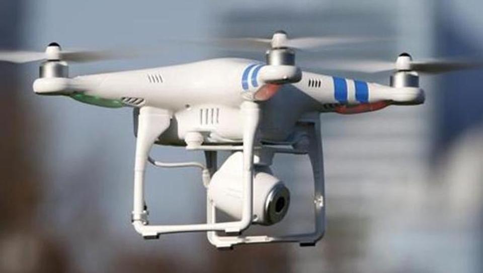
Additional municipal commissioner PK Srivastava said, “The LMC , as part of its capacity building plan for urban development, has hired the services of Caritas Eco Systems Private Limited, (under the World Bank funded project of the CBUD programme of Ministry of Urban Development, Government of India) for a pilot drone -based survey in the city. This survey will start from August 17, 2017.”
“The key objective of the project is to improve the process of data collection and management. The LMC will create a property database by collecting and linking data of each property to a digital map. Evidence based, auditable data will be collected speedily and accurately with the help of drones with minimum manual intervention. The LMC officials will be able to conduct a virtual inspection of any location in the city with the help of the technology that would be able to provide a three dimensional view ,” he said.
Municipal commissioner Udairaj Singh said , “ Each property will have a unique property ID which will be linked with the Aadhaar card of the owners. Further, the property data will be integrated with database of other departments/agencies. The will help bring transparency in the whole process and will be beneficial in detecting benami properties. The system will also help the public to view their property data online, request property information update, pay their property tax online and reduce their grievances. The pilot, if successful, may be extended to the entire city.”


