
 E-Paper



Wet spell likely from February 27 in J&K: MeT
MeT’s Srinagar centre director Mukhtar Ahmad said that the first western disturbance, moisture-laden winds from mediterranean region, approaching the J&K will be of light to moderate intensity on February 27 and 28


Two back-to-back western disturbances are expected to hit Jammu and Kashmir from February 27, which will bring a major wet spell over the region in first week of March, the meteorological centre in Srinagar said on Friday.
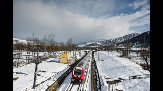
MeT’s Srinagar centre director Mukhtar Ahmad said that the first western disturbance, moisture-laden winds from mediterranean region, approaching the J&K will be of light to moderate intensity on February 27 and 28. “There is possibility of light to moderate rain/snow at many places,” he added.
He said that a moderate to intense western disturbance will impact the region from March 1 to 3. “ There is possibility of light to moderate rain/snow at most places with heavy rain/snow at isolated middle and higher reaches,” he said.
“Overall, there are chances of a major wet spell in first week of March,” he said.
After two months of dry weather, J&K experienced first major rain and snowfall this season from February 18 to 20. Overall, there has been a deficit precipitation in the region this winter.
Low-level avalanche warning for six dists
Meanwhile, Jammu and Kashmir disaster management authority issued a low level avalanche alert for six districts of the region.
“Avalanche with low danger level is likely to occur above 2,300 metres above sea level over Bandipura, Ganderbal, Doda, Kishtwar, Poonch and Ramban districts in next 24 hours,” the authority said.
People living in these areas were advised to take precautions and avoid venturing in avalanche prone areas.


