
 E-Paper



Delhi may see rain today, cleaner air this week: IMD
RK Jenamani, scientist at IMD, said peak rainfall activity is currently forecast for two days – Wednesday and Saturday -- with the latter expected to record wind speed of 30-40 km/hour.

 Prefer HTon Google


Delhi may witness rain on Wednesday and Saturday this week, with faster winds that are expected to blow away some pollutants and improve air quality in the city, the India Meteorological Department said on Tuesday.
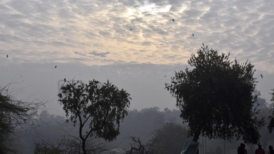
RK Jenamani, scientist at IMD, said peak rainfall activity is currently forecast for two days – Wednesday and Saturday -- with the latter expected to record wind speed of 30-40 km/hour. “Delhi is expected to see two back-to-back western disturbances (areas of ‘disturbed’ or reduced air pressure, moving from the west to the east, carrying moisture associated with rainfall, snowfall and fog in northern India), the first of which is already bringing rain and snowfall to parts of northern India from January 3-5, while the second will impact Delhi from January 6-9,” he said.
“A yellow alert is currently in place for Wednesday and Saturday. Both days will see light rain, gusty winds and the maximum temperature will therefore drop to around 18 degrees Celsius,” Jenamani added.
A yellow alert is generally issued by the IMD asking the general public to “be aware” of a weather situation developing in the next 24 to 48 hours.
According to IMD’s weather bulletin, widespread rain, isolated hailstorm and low day time temperatures are also likely over northwest India at least for next seven days.The two consecutive active western disturbances (January 3-5, and January 6-9) are also likely to affect northwest and adjoining central India, it said.
Fairly widespread moderate rainfall/snowfall is very likely over western Himalayan region during January 4 to 6. Scattered to moderate rainfall is likely over Punjab, Haryana, Chandigarh, north Rajasthan, west Uttar Pradesh and west Madhya Pradesh during January 4 to 6, the bulletin said. Isolated heavy rainfall is very likely over Punjab on January 5 and isolated thunderstorm activity accompanied with hailstorm is likely over Punjab, Haryana and Rajasthan on January 5, it added.
Meanwhile, Delhi’s air quality improved slightly on Tuesday, but remained in the higher end of the very poor category, with an overall Air Quality Index (AQI) reading of 378 recorded by the Central Pollution Control Board’s daily 4pm bulletin. The Capital’s AQI reading was 387 (very poor) on Monday.
According to a forecast by the Early Warning System, Delhi’s air quality is expected to improve to the “poor” category on Thursday, remaining in the same range for the next five days.
The capital recorded a maximum temperature of 23.2 degrees Celsius on Tuesday – four degrees above normal, while the minimum temperature was recorded at 8.5 degrees, one degree above the normal. Jenamani said under the influence of the western disturbance, the minimum temperature could rise to 11 degrees Celsius by Wednesday, however, the maximum temperature could hover around 18 degrees Celsius.
The minimum temperature is then expected to remain over 10 degrees Celsius for the rest of the week until Sunday, making nights fairly warmer. “We will see a reversal now, making nights warmer and days to be harsh, with the maximum to remain below 20 degrees Celsius until Sunday,” Jenamani added.


