
 E-Paper



Drone survey to map 4 green spaces in Hauz Khas
Officials stated that the move is part of a broader strategy to digitise and document Delhi’s green zones, and initiative will enhance monitoring and ensure clear demarcation.

 Prefer HTon Google


The Delhi Development Authority (DDA) is set to launch a pilot project to carry out a drone-based photogrammetry survey of four prominent green areas in Hauz Khas area of south Delhi, with one of the aims being preventing encroachment of ecologically significant spaces, officials aware of the matter said.
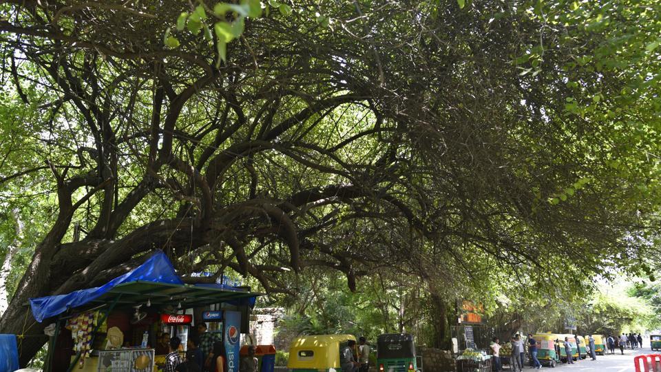
DDA owns and maintains most of the green areas and parks in Delhi. Officials stated that the move is part of a broader strategy to digitise and document Delhi’s green zones, and initiative will enhance monitoring and ensure clear demarcation.
“This is a pilot project that we are trying to adopt to ensure that we have 3D images of the green areas under DDA. These surveys will help us maintain updated records of green cover, map land usage, and establish boundaries to guard against any unauthorised occupation or misuse. Records of many of these areas have been lost over the years due to persistent encroachment. Once uploaded on cloud, these would also be easily updated,” said a DDA official.
The four sites include the District Park opposite RK Puram, Rose Garden, MP Green Area, and the Picnic Hut zone in Hauz Khas. The agency selected for the project will have to deploy advanced drones and Differential Global Positioning Systems (DGPS) to conduct high-resolution surveys, the official said.
Officials said photogrammetry is a technique that uses photographs for surveying and mapmaking. It helps in obtaining important information about physical objects and the environment through the process of recording, interpreting, and measuring the photographic images and turning them into 3D images.
The selected agency will be responsible for conducting aerial surveys, generating geo-referenced orthophotos, creating digital terrain models and integrating the data with GIS platforms, officials added. As part of the deliverables, detailed maps and reports will be prepared using drone imagery and photogrammetric techniques.
The survey will be conducted using Unmanned Aerial Vehicles (UAVs) equipped with high-resolution cameras, under strict adherence to safety and privacy protocols. The agency will also be required to coordinate with relevant airspace authorities and obtain necessary permissions from the Directorate General of Civil Aviation (DGCA) for operating drones in the designated zones.
Based on its success, the initiative could be extended to other green areas across Delhi, forming a standardised model for urban ecological monitoring. “This is a step towards leveraging technology for better green space management in urban environments,” said another official.
The contract will include pre-survey reconnaissance, ground control point (GCP) establishment using DGPS and post-processing of imagery for actionable insights. The tender floated by DDA invites qualified firms with prior experience in drone-based geospatial surveying to submit bids for the project.
Delhi has a total of over 16,000 acres of green area under DDA. This includes 10,400 acres of 729 public parks, 21,000 acres of biodiversity parks and 3500 acres of Yamuna floodplains that are at various stages of restoration.

Stay updated with all top Cities including, Bengaluru, Delhi, Mumbai and more across India. Stay informed on the latest happenings in World News along with Delhi Election 2025 and Delhi Election Result 2025 Live, New Delhi Election Result Live, Kalkaji Election Result Live at Hindustan Times.


