
 E-Paper



Tribunal flags gaps in Yamuna floodplain map in Delhi
A one-in-100-year floodplain includes land along the river that has a one-in-100 or 1% chance of flooding each year.

 Prefer HTon Google


The National Green Tribunal (NGT) has sought clarity from the Delhi government if they are working on leaving the one-metre contour space as part of the Yamuna floodplains demarcation in the city. The tribunal said the government’s latest affidavit has no mention of the space to be left.
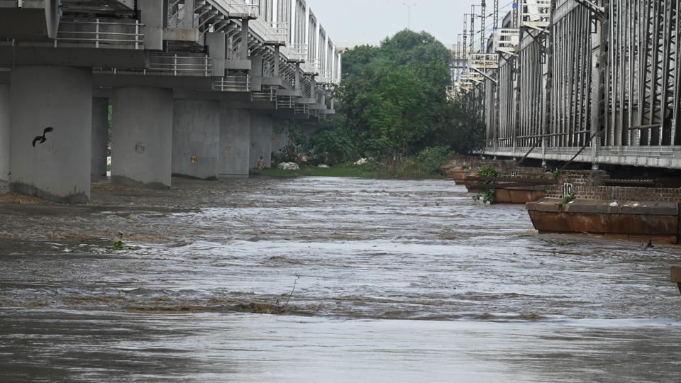
A one-in-100-year floodplain includes land along the river that has a one-in-100 or 1% chance of flooding each year.
Notably, the government had submitted on August 12 that they have completed the one-in-100-years (1:100) floodplain demarcation virtually and the on-ground work will begin from September 1 onwards.
In the order dated August 25, a bench headed by NGT chairperson justice Prakash Shrivastava said while the government’s latest affidavit shares details of the outermost boundary of the 1:100 year floodplain area, it was silent on the one-metre contour required.
“The tribunal, in the matters concerning the demarcation of floodplain of river Ganga and its tributary in respect of River Ganga Order 2016 for other stretches, has directed the demarcation of floodplain with 1:100-year highest flood level with a one-metre contour. Therefore, the same criteria is required to be followed for the 22km stretch of Yamuna in Delhi. Hence, we require the GNCTD (Government of National Capital Territory of Delhi) and DDA (Delhi Development Authority) to file a further report within 10 days disclosing the compliance of the said criteria,” said the tribunal in its order.
NGT had taken suo motu cognisance of a media report in October, forming a joint committee headed by the Delhi chief secretary to identify, demarcate and notify Yamuna floodplains of the Yamuna as per the River Ganga (Rejuvenation, Protection and Management) Authorities Order, 2016. It said that the delineation of Yamuna was required to prevent illegal developments in the floodplains.
A one-in-25-year floodplain includes and refers to land along a river which has a one-in-25 or 4% chance of flooding every year.
In the proceedings in the tribunal on April 30, 2025, the NGT had noted that the DDA’s map of the floodplain area, shared with the Delhi government showed that in some places, 1:100 year flood level with a one-metre contour was falling within the limits of 1:25 years highest flood level, which it said “was improbable.”
“Submission of counsel for the DDA is that though the map has been shared by the GNCTD but at some places, the 1:100 flood level with one-metre contour falls within the limits of 1:25 highest flood level which is improbable. Ground truthing work may not be effectively proceeded with until the anomaly is resolved,” it had said earlier, asking agencies to work together to resolve it. The NGT will hear the matter next on September 11.


Stay updated with all top Cities including, Bengaluru, Delhi, Mumbai and more across India. Stay informed on the latest happenings in World News along with Delhi Election 2025 and Delhi Election Result 2025 Live, New Delhi Election Result Live, Kalkaji Election Result Live at Hindustan Times.


