
 E-Paper



Centre gives nod to Mumbai coastal zone management plans
The union ministry for environment and climate change has given its nod to the Coastal Zone Management Plans (CZMPs) for Mumbai city and suburban districts, to the relief of developers and sparking ire among environmentalists.


The union ministry for environment and climate change has given its nod to the Coastal Zone Management Plans (CZMPs) for Mumbai city and suburban districts, to the relief of developers and sparking ire among environmentalists. The Maharashtra Coastal Zone Management Authority (MCZMA) had green-lit revised draft CZMPs for Mumbai in March this year.
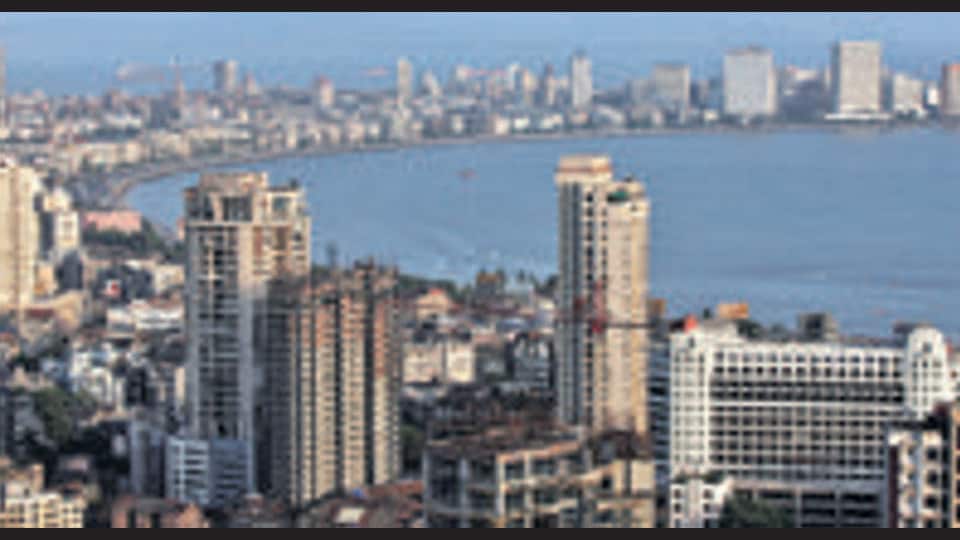
State environment minister Aaditya Thackeray, in January, had written to former Union environment minister Prakash Javadekar seeking inclusion of Coastal Zone Management Plans (CZMP) under the Coastal Regulation Zones (CRZ) Notification, 2019 for the districts of Maharashtra, including Mumbai, Palghar, Raigad, Ratnagiri, and Sindhudurg.
The draft CZMP maps were prepared by the NCSCM under the Union environment ministry in 2019 for all coastal districts in Maharashtra based on the 2019 Coastal Regulation Zone (CRZ) norms. They were published on January 22, 2020. These maps use distinct colour codes to demarcate CRZ areas (I to IV), high tide and hazard line, fishing zones, intertidal areas, mangrove forests and buffer areas, turtle nesting sites, cyclone shelters, koliwadas and gaothans. These maps also identify coastal areas that can be opened up for infrastructural development.
“Public hearings were held in February to receive objections and suggestions on the previous iteration of the CZMP, which was published in January 2020. It was learnt that the main objection is with regards to the coastal mapping in which regulatory zones have been delineated. The maps were revised keeping in mind public feedback. The MCZMA gave a go ahead on these changes, and the revised plans have now received the MoEFCC’s nod,” said an official privy to the development.
“It is astonishing that the plans have been approved on the basis of 1:25000 scale maps. The MCZMA and the Maharashtra Environment Department have confirmed in writing that they do not have 1:4000 scale maps, without which no planning agency can consider proposals within the CRZ. Secondly, the demarcation of the hazard line is one crucial component of the CZMPs, to prevent construction on their seaward side. In view of the recent admission by the Municipal Commissioner of Mumbai that 80% of Mumbai city will be underwater by 2050, it will be very interesting to see how the hazard line has been demarcated in these CZMPs. Fortunately, it seems that they have been approved subject to certain conditions and that this is not a final approval,” said Debi Goenka, executive trustee, Conservation Action Trust (CAT).


