
 E-Paper



Ghaziabad: UP govt approves integrated, GIS-based Master Plan 2031 for Ghaziabad
The new plan involves development of an area of 32,017.81 hectares against the 25,099.46 hectares envisaged in the 2021 plan

 Prefer HTon Google


The Uttar Pradesh government has approved the GIS (Geographic Information System)-based integrated Master Plan 2031 for Ghaziabad, Loni, and Modinagar/Muradnagar, officials of the Ghaziabad Development Authority (GDA) said Saturday.
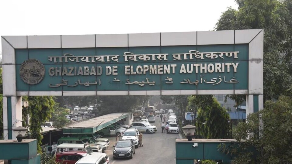
The new Master Plan 2031 will pave the way for more vertical development, creation of more industrial clusters and townships, transit-oriented (TOD) zones, special development areas (SDAs), and expansion of development activities along the Eastern Peripheral Expressway and the Delhi-Meerut Expressway.
According to official data, the new plan involves development of an area of 32,017.81 hectares against the 25,099.46 hectares envisaged in the 2021 plan.
“The new plan involves a 27.56% increase in the development area and will pave the way for more planned development with vertical growth and mixed land use available to residents. The new plan is projected for a population of 6.473 million,” said Atul Vats, vice-chairperson of GDA.
Under the new plan, the authority has proposed residential activities over an area of 12,869.32 hectares, 744 hectares for commercial, 3,531.15 hectares for industrial, 552.74 hectares for mixed land use, 6,032.44 hectares for recreational activities, and 4,120.95 hectares for transport-related activities, among others.
A master plan proposes a macro-level development of the entire city and also defines the areas where such activities will come up. On the other hand, the zonal plans are subordinate plans that define micro-level activities in a zone defined under the master plan. A zonal plan includes identification of different types of roads, public utilities, transport facilities, and commercial activities.
Both the master plan and the zonal plans are mandated under the Uttar Pradesh Urban Planning and Development Act, 1973.
“Under the new plan, we have increased our existing eight zones to 15 zones overall. At present, we have one zonal plan prepared for the Raj Nagar Extension area. For others, we will initiate the process with an invitation for a request-for-proposal within a fortnight, and the proposal is also being taken up in the upcoming board meeting. A separate plan for TOD zones is also under preparation by the NCR Transport Corporation (the agency developing the RRTS project),” Vats added.
As part of the RRTS project, Ghaziabad district has eight fully operational Namo Bharat stations. GDA has defined TOD zones along RRTS stations and also along the two corridors of the Blue Line and the Red Line of the Metro projects in Ghaziabad. These TOD zones are also a part of the new master plan.
The concept of TOD is fast growing and aims at the creation of vibrant, sustainable, and livable communities that are generally centered near high-quality train systems.
Officials said that an area within a 1.5km radius of each of the eight RRTS stations has been defined as TOD’s influence zone. The influence zone for the Metro corridor is 500 metres each side or up to any physical boundary limit.
According to officials, a total of 4,261.43 hectares of area is defined as a TOD zone for the RRTS project, while 636.61 hectares will fall under the TOD zone along the two Metro corridors. These TOD areas have been provided with mixed land use provisions, which allow for combining activities like residential, commercial, or industrial.
Likewise, one of the special development areas (SDA) is 510.56 hectares and proposed in Guldhar, while the other is 549.5 hectares in Duhai. These two areas, incorporated in the new plan, will also have provisions for a higher floor area ratio (providing for more vertical expansion) and mixed land use like the influence zones.

Stay updated with all the Breaking News and Latest News from Mumbai. Click here for comprehensive coverage of top Cities including Bengaluru, Delhi, Hyderabad, and more across India along with Stay informed on the latest happenings in World News.


