
 E-Paper



A South Asian climate plan
Pakistan's floods highlight the region’s vulnerability to the climate crisis. More cooperation is key

 Prefer HTon Google


To understand the roots of the catastrophic floods inundating southern Pakistan, which have affected roughly 15% of the country and left tens of thousands of people homeless and the government declaring a national emergency, one has to trek up north, into the remote reaches of the Gilgit Baltistan province. Here, in the confluence of three of the world’s highest mountain ranges — the Karakoram, Hindu Kush, and Himalayas — lie about 7,000 glaciers, the highest in any country or region outside the poles. But record-breaking temperatures in South Asia — Pakistan was gripped by a long heatwave this May that saw temperatures soar north of 50 degrees C in some cities — has meant that the glaciers are melting faster than at any point earlier in history, creating highly volatile glacial lakes.
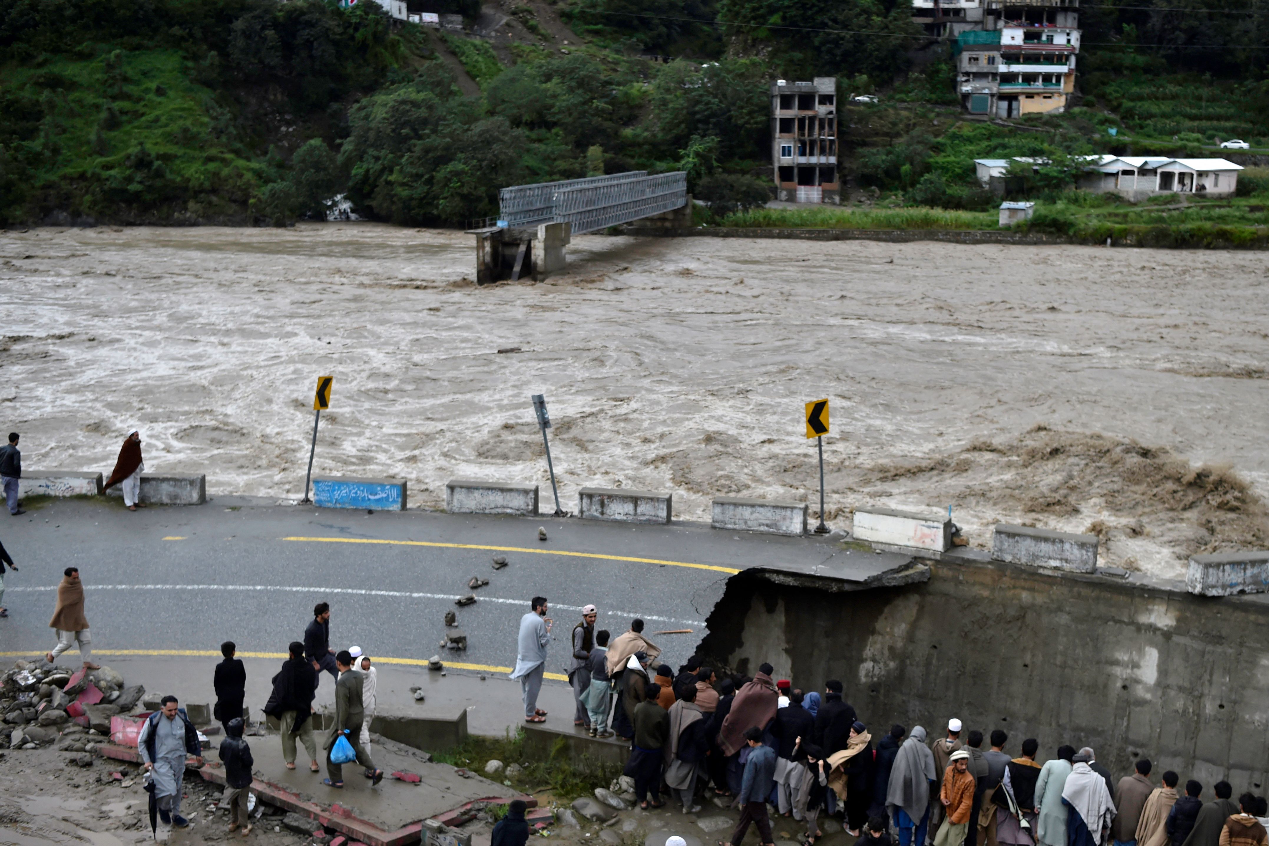
The government estimates that 33 of these lakes are at risk of bursting and releasing thousands of litres of water into run-offs and rivers, and some have done so already, flooding rivers and sending torrents of water downstream. This, combined with record-breaking rainfall levels pummelling the rest of the country (the 30-year average of rainfall has been broken in Sindh, Balochistan and Gilgit-Baltistan with 385%, 371% and 225% more showers this year than previous years, respectively) has caused a disaster that has left nearly half of the country underwater and at least 1,041 people dead. The government has since scrambled to put together rescue, rehabilitation, and reconstruction activities, but scientific agencies have underlined the worrying role of the climate crisis in exacerbating such disasters, indicating the need for more systemic, long-term, and coherent policy decisions.
South Asia is one of the most vulnerable regions in the world to the crisis and local climates lurching from extreme heat to extreme rain to extreme cold has become commonplace. To fight this, and knock-on effects on livelihoods, social relations, economic aspirations, health, and food security, requires a plan spanning borders, in addition to national, regional, and local plans that raise climate resilience. This could include learning from best practices, sustainable management of forests, ecotourism, energy efficiency, and making cities more climate-resilient. Despite political differences and bitter histories, leaders must push the world into releasing more funds, technology, and expertise to help craft more sensitive solutions to these problems and prevent the loss of life. It’s grim as it is, but a lack of action will only push us towards greater catastrophe.


