
 E-Paper



Cyclone Amphan will carry winds with speed greater than Vande Bharat Express, say experts
The IMD has warned that extremely severe cyclone Amphan is located less than 100 km south of the Bengal coast.


The extent of devastation that Cyclone Amphan is likely to cause in the coastal blocks and riverine areas of West Bengal will depend much on the landfall time and its synchronisation with the tidal timings, experts have warned.
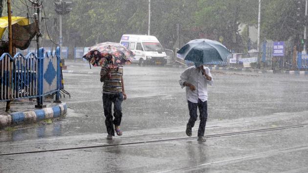
With the new moon scheduled on May 22, scientists said that the ‘spring tide’ phase - when average tidal ranges are higher - has already started. Then there is going to be the diurnal high tide that occurs approximately every 12 hours. Over and above these, there would be storm surge that would be triggered by Amphan itself.
“Together these three could trigger huge waves in the rivers and sea that could create massive destruction. Mud embankments could collapse and sea water could gush in. Large areas could get inundated,” said KJ Ramesh, former director general of the India Meteorological Department (IMD).
The IMD has warned that extremely severe cyclone Amphan, located less than 100 km south of the Bengal coast around 12:30 pm, could hit the coast somewhere between Digha in south Bengal and Hatiya Island in Bangladesh with wind speed gusting up to 185 km per hour - the top speed of Vande Bharat Express, India’s fastest train.
“Storm surge of about 4-5 metres above the astronomical tide (spring tide and neap tide coinciding with new moon and full moon) is likely to inundate the low lying areas of South 24 Parganas and North 24 Parganas,” the IMD has warned in its bulletin.
On Wednesday, the first high tide at Diamond Harbour in South 24 Parganas was recorded around 10 am. The next high tide will peak around 10:18 pm. The low tide is around 5:36 pm. The IMD has said that the storm is expected to hit in the afternoon or evening. Rain and gusty winds have already started battering the coast.
“When the storm makes a landfall, the winds will blow in a north to south direction. If at that time there is high tide, then water will gush in from south to north and there would be head-on collision between the water and wind. This will bring more devastation,” said Kalyan Rudra, chairman of the West Bengal Pollution Control Board and a noted expert on rivers.
West Bengal had witnessed this phenomenon during cyclone Aila, which had hit the Sunderbans in May 2009. It was high tide at that time. There were massive waves, the river embankments got damaged and sea water gushed into the villages resulting in heavy loss of life and property.
“Bulbul, which struck in November 2019, also created damage because of its wind power. But the damage caused by waves was not much and the embankments didn’t break because there was low tide at that time. On Wednesday I heard that despite there was a low tide in the early morning the river water didn’t go down much in the Sunderbans because storm water was gushing in with the approaching storm,” said Tuhin Ghosh, director of School of Oceanographic Studies at Jadavpur University.


