
 E-Paper



Cyclone Shaheen likely to form over the Arabian Sea by October 1
A well-marked low-pressure area, a remnant of Cyclone Gulab is likely to move further west-north-westwards and intensify into the cyclonic storm Shaheen during the subsequent 24 hours


Cyclone Shaheen that is likely to form over the Arabian Sea on Friday is among two extremely intense weather systems developing over India’s eastern and western parts, which could lead to widespread and extremely heavy rain in parts of the country, India Meteorological Department (IMD) said on Wednesday.
There is also a well-marked low-pressure system over western parts of Gangetic West Bengal and neighbourhood. The Joint Typhoon Warning Center suggested it could intensify into a land cyclone but later said that it is only an area of convection. Some European models are indicating intensification of the system. “We do not think it is going to intensify into a cyclone. It will remain well marked for some time. The system is intense which brought extremely heavy rain yesterday (Tuesday) and bring very heavy rains today (Wednesday) also,” said Sunitha Devi, the in-charge of cyclones at IMD.
Also Read: Extremely heavy rain likely over Gujarat, other parts of west coast
Another well-marked low-pressure area, a remnant of Cyclone Gulab, is over north Madhya Maharashtra, adjoining Gujarat and southwest Madhya Pradesh. It is likely to move west-north-westwards, emerge into the northeast Arabian Sea and intensify into a depression by Thursday morning. The remnant is likely to move further west-north-westwards and intensify into the cyclonic storm Shaheen during the subsequent 24 hours. Thereafter it is likely to continue to move west north-westwards towards Pakistan.
“Though the cyclone will not hit the Indian coast, we can expect high sea around Gujarat and the Gulf of Kutch. Fishermen and coastal populations will be affected,” said Devi.
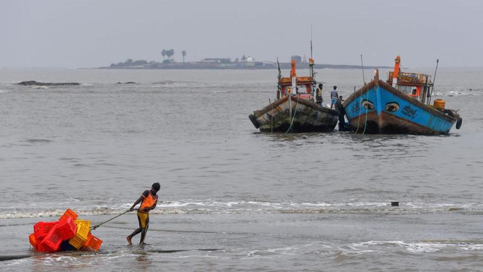
In view of likely tropical cyclone formation over the northeast Arabian Sea, fishermen have been advised against venturing into the north and adjoining central Arabian Sea and along and off Gujarat and north Maharashtra coasts from Thursday. Fishermen, who are out at sea, have been advised to return to safer places by Wednesday evening.



