
 E-Paper



Monsoon begins to revive gradually in N-W India but spell likely to be short
The monsoon has started reviving in northwest India from Thursday with easterly winds bringing in moisture for the revival, the Indian Meteorological Department (IMD) said


The monsoon has started reviving in northwest India from Thursday with easterly winds bringing in moisture for the revival, the Indian Meteorological Department (IMD) said. Its trough was along the Himalayan foothills during the first half of August that led to a “break” in the monsoon over the plains for over two weeks.
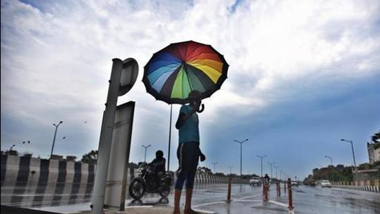
“The monsoon trough has started moving to its normal position. It was to the north which is why we had a dry spell. Easterly winds have started penetrating northwest India. Our models are showing an increase in rainfall over the Haryana, Chandigarh region. In August, there was very little rainfall activity. The monsoon current has also weakened which is why for many days there was very little rain over the west coast also,” said K Sathi Devi, who heads IMD’s National Weather Forecasting Centre. “But there will not be a copious amount of rain because monsoon flow is not very strong.”
The withdrawal of monsoon from northwest India begins around September 17 and it withdraws completely by October 15.
Also Read | Delhi weather: Monsoon expected to revive from tomorrow night
There has been a 9% rain deficiency during the monsoon season since June 1. The deficiency is 10% in northwest India, 11% in the east and northeast India, and 11% in central India. There has been 5% excess rain in the south peninsula.
Punjab and Himachal Pradesh have a 22% rain deficiency, Chandigarh 39%, Uttarakhand 8%. Delhi and Haryana have recorded 6% and 13% excess rainfall. There has also been significant rainfall deficiency in Odisha (29%), Gujarat (48%), and Kerala (27%).
The western end of the monsoon trough is now near its normal position and the eastern end is south of its normal position. The eastern end of the monsoon trough is very likely to shift gradually northward towards the foothills of the Himalayas on Friday and Saturday.
A cyclonic circulation lying over south Bihar and neighbourhood is likely to move nearly westwards over the weekend.
Due to these meteorological conditions, a gradual increase in rainfall activity is likely in northwest India and Bihar. Widespread rainfall, with isolated heavy rain, is very likely in Bihar, east Uttar Pradesh, and Uttarakhand from Thursday to Monday. Heavy to very heavy rain is also very likely in Uttarakhand on Thursday and Friday and east Uttar Pradesh on Thursday. Fairly widespread rainfall is very likely in west Uttar Pradesh, Himachal Pradesh, Haryana, Chandigarh, and east Rajasthan from Friday to Monday with isolated heavy rainfall in these areas on Friday and Saturday.
Enhanced rainfall activity is expected in Central and adjoining north Peninsular India on Friday and Saturday. Fairly widespread to widespread rainfall activity with isolated heavy rain is very likely in Gujarat, Konkan, Goa, Madhya Maharashtra, and Madhya Pradesh on Thursday and Friday as well as Marathwada, coastal Andhra Pradesh, Telangana, Chhattisgarh, Jharkhand, and Gangetic West Bengal on Thursday.
IMD said the rainfall activity is very likely to decrease thereafter in these areas.


