
 E-Paper



Subdued monsoon likely over NW India at least for next 5 days
Isolated extremely heavy rain is also likely over Assam and Meghalaya during Wednesday and Thursday. Widespread rainfall activity with isolated heavy falls is very likely to continue over Bihar, east Uttar Pradesh and Uttarakhand till Friday


Monsoon is likely to be subdued over northwest India, central India and the west coast during the next five days, according to India Meteorological Department (IMD).
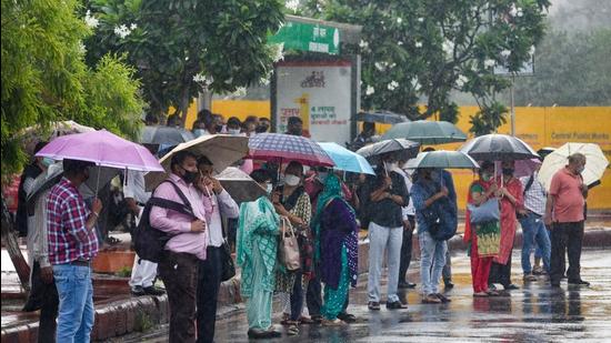
The western end of the monsoon trough is lying to the north of its normal position and the eastern end is lying along the foothills of Himalayas. The monsoon trough is very likely to run close to foothills of Himalayas by Wednesday and continue to remain there till Thursday. Due to formation of a cyclonic circulation over west central and adjoin northwest Bay of Bengal on Friday, the eastern end of the monsoon trough is likely to shift southwards.
Also Read | Monsoon normal for now, despite a ‘break’
Strong southerly/southwesterly winds from Bay of Bengal to northeast India are very likely to continue to prevail. Widespread rainfall activity with isolated heavy to very heavy rain is very likely to continue over northeast India, sub-Himalayan West Bengal and Sikkim till Friday and reduce thereafter with isolated heavy rainfall over the region.
Isolated extremely heavy rain is also likely over Assam and Meghalaya during Wednesday and Thursday. Widespread rainfall activity with isolated heavy falls is very likely to continue over Bihar, east Uttar Pradesh and Uttarakhand till Friday. Scattered to fairly widespread rainfall activity with Isolated heavy rain over Tamil Nadu during the next five days and over Kerala and Mahe is likely till Saturday. Thunderstorm accompanied with lightning over east India is expected during the next three days.Subdued rainfall activity is likely to continue over northwest, central India and the west coast during the next five days.


