
 E-Paper


Polar Vortex collapse to bring back arctic blast into US; freezing temperatures, snowfall expected in These states
The Polar Vortex in the upper atmosphere has disintegrated after the intense warming of the stratosphere in mid-March.

 Prefer HTon Google


The Polar Vortex in the upper atmosphere has disintegrated after the intense warming of the stratosphere in mid-March. Currently, its remains are traveling eastward across Canada to the United States. Early this week, a major cold event will be produced due to its powerful lobe throughout the Northeast and Great Lakes.
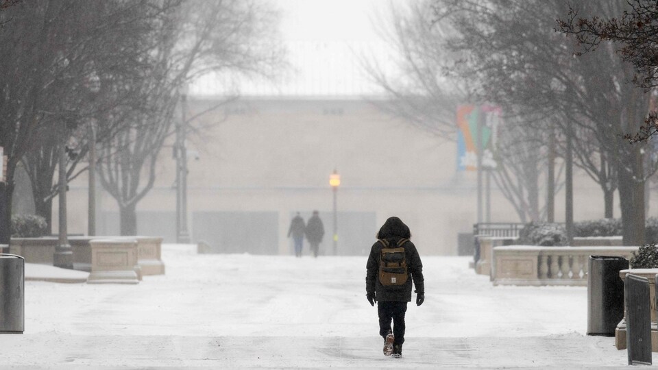
The Polar Vortex's collapse will cause a major Arctic blast from central Canada into the Northeast United States, even if a progressive and dynamic weather pattern will persist across North America into April.
Tornado season is intensifying further south in the United States, where the current weather pattern has caused multi-day bouts of severe weather. The big storm clusters that moved from the mid-Mississippi into the Tennessee Valley have caused severe flooding problems. Heavy rains in certain places will cause record floods.
The weather is expected to drastically shift towards the north from the Upper Midwest across the Great Lakes into the Northeast U.S., while severe conditions will persist further south throughout the first few days of next week. On Monday, the temperature drops significantly.
While the Northeast is seeing a major Arctic cold blast, the west is experiencing warmer temperatures and a powerful blocking high, Severe Weather Europe reported.
Following the significant disturbance of the polar vortex and the change in patterns throughout North America, one of the cold pools is moving across central Canada in the direction of the United States. Temperatures in the Northeast will be significantly lower than usual as a result of the jet stream shifting in the sky and dipping into the eastern portion of the continent.
Also Read: Deadly tornadoes, floods wreak havoc in central and southern US as 3 people killed: See photos
Polar Vortex remnants to bring heavy snow in These US states
Its immense weather pattern changes increases the potential of frost damage to crops and trees that are just beginning to bloom.
Strong winds and snowfall are expected to combine to create near-blizzard conditions on the northern edge of the low. Moreover, low visibility and erratic travel conditions may result in whiteout conditions, as per Severe Weather Europe.
The northern tier of the Great Lakes, primarily southern Ontario, is expected to receive the most snowfall. There is a good chance of snowfall in Montreal and Ottawa.
The Great Lakes and the Northeastern United States will see a chilly Tuesday morning as colder air mass will first spread into the Upper Midwest and western Great Lakes by midday Monday.
In addition, temperatures below freezing are expected to spread throughout Boston, New York, and Washington, D.C.
Arctic cold blast: Freezing temperatures, snowfall warning in US
The Arctic cold blast is expected to intensify and cover a huge portion of the eastern US by Tuesday afternoon, covering Ohio Valley, Great Lakes, Mid-Atlantic, and Northeast.
This is important for early April since the mid-level air mass will be 12–16 °C cooler than normal.
As a result, Tuesday is going to be chilly. The Ohio Valley, the Mid-Atlantic, the Northeast U.S., and Tennessee will all experience near-surface temperatures that are 15 to 25 °F lower than normal.
Temperatures will be 10 to 15 degrees Fahrenheit below normal on Tuesday along the East Coast and in the Southeast U.S., including Florida.


