
 E-Paper



Cold wave sweeps Chandigarh, relief ahead
At 4°C, minimum temperature was two notches below normal on Saturday

 Prefer HTon Google


Cold wave swept Chandigarh for the first time this season as minimum temperature dropped to 4°C on the intervening night of Friday and Saturday.
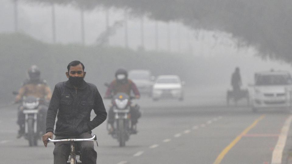
According to the India Meteorological Department, similar conditions will most likely continue on Saturday night, though night temperature is likely to rise from Sunday onwards due to chances of light rain in the city.
Cold wave is declared when minimum temperature drops to or below 4°C in a region. It can also be declared if minimum temperature drops below 10°C and is 4.5-6.4°C below normal. A severe cold wave is declared when it reaches 2°C.
At 4°C, minimum temperature was two notches below normal on Saturday. This is the lowest that the minimum temperature has dropped this season. Earlier it was recorded at 4.2°C on December 20. The city was also much colder than Shimla, where minimum temperature was recorded at 7°C.
However, relief is likely ahead, according to the weatherman.
“A western disturbance will be active in the city on Sunday, and light rain up to 10mm can be expected. Although the system will leave the city by Monday, chances of light rain will continue that day too,” said an IMD official. “Due to cloudy weather, minimum temperature can rise by 4-5 degrees.”
However, if it rains during the day, maximum temperature, which was recorded at 19°C on Saturday, can be expected to go down. After light rain on Sunday, foggy conditions can also be expected from Monday onwards.In the next three days, maximum temperature will remain between 17 and 20 degrees while minimum temperature will remain between 4 and 8 degrees.


