
 E-Paper



DDA plans 51km cycle corridor on Yamuna floodplains to link parks
The proposed cycle corridors will span approximately 21km along the western bank and 30km along the eastern edge of the river

 Prefer HTon Google


The Delhi Development Authority (DDA) is planning to develop dedicated bicycle tracks on both banks of the Yamuna as part of an expansive green mobility corridor linked to ongoing floodplain and riverfront redevelopment projects, officials familiar with the matter said on Thursday.
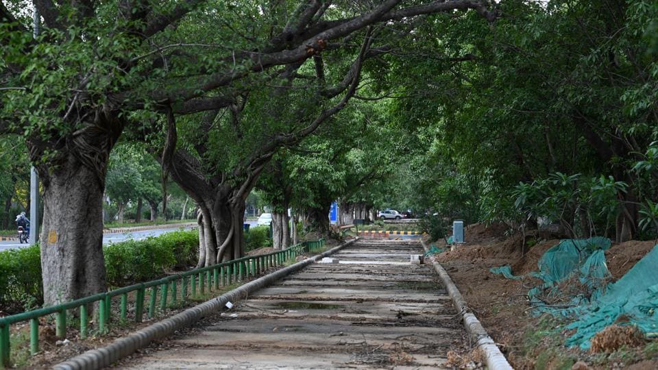
According to official documents reviewed by HT, the proposed cycle corridors will span approximately 21km along the western bank and 30km along the eastern edge of the river, together forming a 51km non-motorised transit network. The first phase of the project is expected to be completed by October 31, while the full riverfront plan—spanning over 25 hectares—is likely to be completed by June 30, 2026, a government official said on condition of anonymity.
The greenway will aim to interlink a series of newly developed and upcoming recreational spaces along the Yamuna floodplains through these cycle tracks and pedestrian pathways. “In the last two years, several parks and public spaces have come up along the 22km stretch between the Wazirabad and Okhla barrages. These include riverside cafés, landscaped parks and biodiversity zones. The cycle corridor will offer a clean, scenic and safe mobility option for visitors and commuters,” the official added.
In May, Delhi public works department (PWD) minister Parvesh Verma chaired a review meeting with DDA officials, where interlinking all Yamuna riverfront parks was discussed as a key priority. “DDA has created parks like Baansera and Asita, but they remain disconnected. The idea is to allow visitors to enter from one end—say Asita at ITO—and access the entire network of parks and public spaces seamlessly,” Verma had said.
On the eastern side, the cycle track is expected to start near the Wazirabad barrage—where a jetty project is also in the works—and pass along Pushta Road and the Old Iron Bridge before ending near the Hindon Sarovar project. On the western bank, the track is likely to run between the river and the Ring Road, terminating near the DND Flyway.
A DDA spokesperson did not respond to requests for comment.
Several riverfront projects—completed or under development—will be linked through the new corridor. These include Asita, Baansera Park, Yamuna Vatika, Vasudev Ghat, and the Amrut Biodiversity Park, with new initiatives such as the Mayur Nature Park, Hindon Sarovar, and a main riverfront node near Sarai Kale Khan currently underway. Additional features like a bus café near Yamuna Vatika, container and tent cafés near Asita, and a proposed convention centre and shikara ride facility near Kalindi Aviral are also in the pipeline.
So far, functional cycle tracks in Delhi have been mostly confined to NDMC areas, such as the one along Nehru Park’s periphery and a proposed 9.5km corridor from New Moti Bagh to Sunehri Bagh. However, despite several pilot projects, cycle lanes across the city have largely failed to gain traction, often falling prey to encroachment, poor maintenance, or fragmented planning.
Urban transport experts have long argued that for cycle tracks to be truly functional, they must be continuous, segregated, and well-integrated with existing infrastructure.


Stay updated with all top Cities including, Bengaluru, Delhi, Mumbai and more across India. Stay informed on the latest happenings in World News along with Delhi Election 2025 and Delhi Election Result 2025 Live, New Delhi Election Result Live, Kalkaji Election Result Live at Hindustan Times.


