
 E-Paper



Delhi forest dept asks landowning agencies to self-check projects on morphological ridge
Environment minister Manjinder Singh Sirsa said the SOP simplifies the process for getting clearance, allowing agencies to gauge and take additional permissions if the land parcel forms a part of the morphological ridge

 Prefer HTon Google


New Delhi
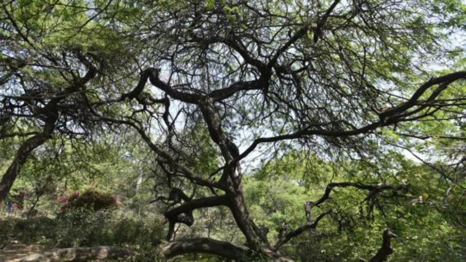
The Delhi forest and wildlife department on Wednesday called on all landowning agencies in Delhi to utilise its e-Van Lekh portal to check whether a project they were planning or executing forms a part of the “morphological ridge”, according to a standard operating procedure (SOP) issued on Wednesday.
Environment minister Manjinder Singh Sirsa said the SOP simplifies the process for getting clearance, allowing agencies to gauge and take additional permissions if the land parcel forms a part of the morphological ridge.
The morphological ridge is defined as an area that shows ridge-like features (such as rocky terrain and hills), but is not actually a notified or protected forest. However, it enjoys the same protection as Delhi’s Ridge and forest areas, with no commercial activity or construction allowed there.
For clearance to execute projects on such land, the Ridge Management Board (RMB) and the Supreme Court-appointed Central Empowered Committee (CEC) need to first give permission, before the Supreme Court gives the final permission.
The SOP, dated September 24, said the department digitised Delhi’s morphological ridge as per the map provided by the Geological Survey of India (GSI) and the GeoSpatial Delhi Limited (GSDL).
“Any area or location within the NCT of Delhi may be checked on the E-Van Lekh website to ascertain whether it falls under the category of Morphological Ridge as per the existing GSI map. The SOP can also be accessed on the e-vanlekh portal i.e https://evanlekh.eforest.delhi.gov.in,” the SOP read, adding that one could simply upload “kml” files on the website, which will then automatically show whether a project is within the morphological ridge.
Sirsa said the process was fairly simple and will save time for all agencies concerned. “The CEC is also using the same process and portal for analysing the projects submitted before it,” minister Sirsa said.
Delhi has four prominent notified ridge areas, with an area of around 7,784 hectares considered as reserved forests.
The largest ridge is the Southern Ridge, which is spread over an area of 6,200 hectares, followed by the Central Ridge, spread over 864 hectares. The south-central Ridge in Mehrauli is spread over 626 hectares and the Northern Ridge is spread over 87 hectares. Additionally, the Nanakpura south-central ridge is spread over seven hectares.

Stay updated with all top Cities including, Bengaluru, Delhi, Mumbai and more across India. Stay informed on the latest happenings in World News along with Delhi Election 2025 and Delhi Election Result 2025 Live, New Delhi Election Result Live, Kalkaji Election Result Live at Hindustan Times.


