
 E-Paper



Low-pressure area in Odisha to bring rains over Maharashtra: IMD
Weather department officials have confirmed the formation of a low-pressure area in Odisha will strengthen the rainfall activity over Maharashtra and corresponding areas in Central India from July 6


Weather department officials have confirmed the formation of a low-pressure area in Odisha will strengthen the rainfall activity over Maharashtra and corresponding areas in Central India from July 6. However, light rainfall in parts of Pune district has already begun giving a respite to residents.
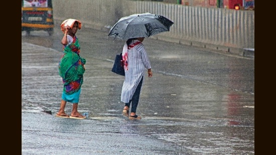
Anupam Kashyapi, head of the weather forecasting department at IMD, Pune, said that as of now the monsoon activity is not very strong but the situation is likely to change in the next few days.
“We are expecting a low-pressure area in and around Odisha to form. The process has already started. This low-pressure area is likely to form by July 4 and its anticipated north-westerly movement will help in the revival of the monsoon current. With the formation of this low-pressure system, the wind from the Arabian Sea will strengthen. Thus, both branches of the monsoon, the Arabian Sea side and the Bay of Bengal side, will be active from July 5 onwards,” said Kashyapi.
He added that heavy rainfall warnings have been issued for central Maharashtra, Vidarbha and Marathwada from July 6. For Konkan and Goa, IMD has issued an orange alert. Ghat regions of Central Maharashtra are also very likely to get heavy rainfall.
“As of Sunday, the monsoon trough is active and south of its normal position. There are strong westerly winds along the west coast in the lower tropospheric levels. A cyclonic circulation lies over south Jharkhand and the neighbourhood extending up to upper tropospheric levels. Under its influence, a low-pressure area is likely to form over the same region till July 4. A trough runs from southwest Rajasthan to west-central Arabian sea at lower tropospheric levels,” said IMD.
As per the met department, the southwest monsoon covered the entire country on Saturday.


