
 E-Paper



DDA ties up with ISRO to check encroachment on vacant plots
Delhi’s land-owning agency, DDA, is putting a computerised system in place to detect encroachment using satellite images provided by ISRO, DDA vice-chairman Tarun Kapoor said.

 Prefer HTon Google


To check encroachment on its vacant land parcels, the Delhi Development Authority (DDA) has tied up with the Indian Space Research Organisation’s (ISRO’s) Regional Remote Sensing Centre (RRSC).
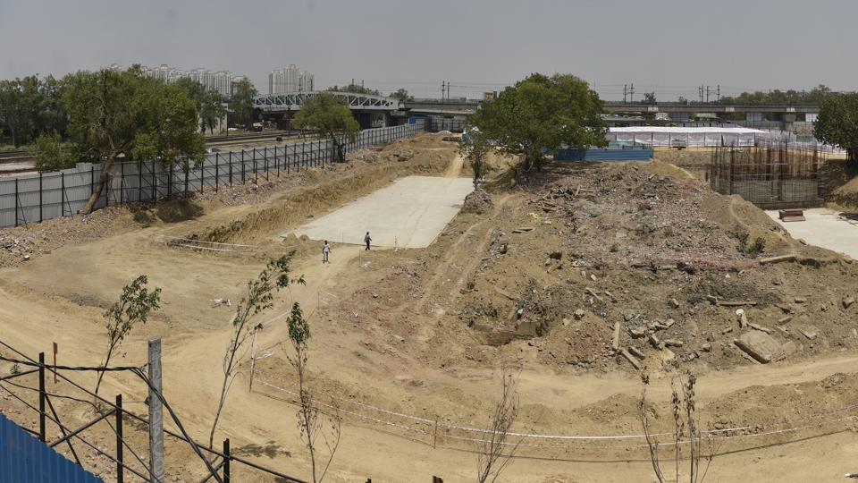
The land-owning agency is putting a computerised system in place to detect encroachment using satellite images provided by ISRO, DDA vice-chairman Tarun Kapoor said.
“We have asked them to provide satellite images from 2007 onward. We will start work to map our vacant land parcels from next week. This data will be shared with ISRO’s Regional Remote Sensing Centre based on which they will help us identify encroachment on our land,” said Kapoor.
In July, DDA had roped in RRSC, a part of the National Remote Sensing Centre (an arm of ISRO), for this project. Last month, nine DDA officials were trained at the RRSC to detect encroachments by comparing satellite images. These officials are now training others. From next week, 22 teams of DDA officials — each team comprising three members — will start mapping vacant land owned by DDA in various parts of the city.
The teams, which have been assigned areas, will visit all vacant land parcels and get the longitude and latitude details using a mobile phone and special devise to ensure accuracy in measurement.
VS Tomar, director of systems, DDA, said, “Once we have the coordinates of the plot, we can easily monitor it using satellite images. We are developing software that use the data collected by us and locate it on the satellite images provided ISRO .The ‘change detection technology’ will help us identify encroachment on the land parcels.”
Tomar added, “We aim to complete the physical mapping of vacant land within the next four months.”
The initial contract, which was signed in July this year, is for one year and will be extended to four more years. The DDA will pay ₹60 lakh for the project.
Encroachment on its land has been a major problem for the land-owning agency. A few years ago, DDA started a system to upload picture of vacant land on a monthly basis to check on encroachment. But officials say it is a cumbersome process, as DDA has large land parcels and photographs can’t capture the entire area. “With satellite images, we will get an accurate idea about our land parcels. We will be able to act quickly in case encroachment is detected. Using our input about land coordinates, RRSC will analyse the satellite images and provide us data,” he said.
Kapoor said DDA has four types of vacant land: green areas, land where projects have been planned, land where projects are yet to be planned and land yet to be auctioned. “Satellite mapping will also help us plan developments,” he said.


