
 E-Paper



Cyclone Fengal to form tomorrow over Southwest Bay of Bengal, may impact Tamil Nadu
The deep depression lay about 310 km southeast of Trincomalee, 590 km south-southeast of Nagappattinam, 710 km south-southeast of Puducherry and 800 km south-southeast of Chennai

 Prefer HTon Google


The depression over Southwest Bay of Bengal intensified into a deep depression and it is likely to intensify into cyclone Fengal on Wednesday moving north-northwestwards towards Tamil Nadu coast over the next two days, India Meteorological Department (IMD) has warned.
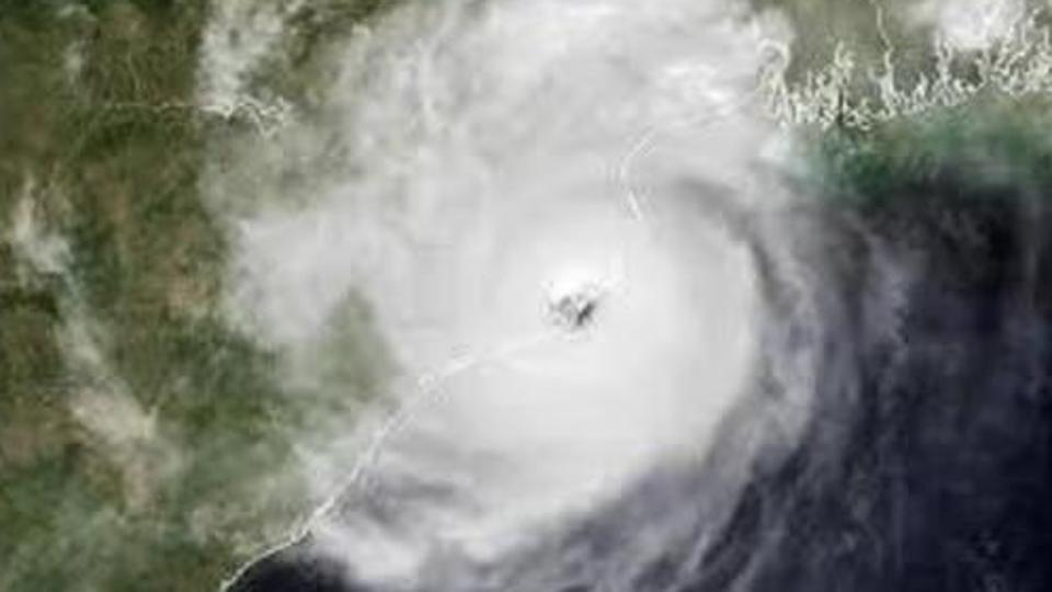
The deep depression lay about 310 km southeast of Trincomalee, 590 km south-southeast of Nagappattinam, 710 km south-southeast of Puducherry and 800 km south-southeast of Chennai on Tuesday.
“It is very likely to continue to move north-northwestwards and intensify further into a cyclonic storm on November 27. Thereafter, it will continue to move north-northwestwards towards Tamil Nadu coast skirting Sri Lanka coast during subsequent two days. A continuous watch is being maintained for the movement and intensification of system,” IMD said on Tuesday.
Also Read:Cyclone Dana responsible for above normal temp in Chandigarh; expect colder days ahead: IMD
Heavy to very heavy rainfall is likely at a few places with extremely heavy rainfall (over 20cm) at isolated places over Tamil Nadu and Puducherry on November 27 and heavy to very heavy rainfall (6.45cm to 20cm) is likely at some places on November 28 and heavy rainfall at isolated places on November 29.
There is likely to be light to moderate rainfall at many places with heavy rainfall at isolated places is likely on November 27 and heavy to very heavy rainfall on November 28 and 29 over Andhra Pradesh and Rayalaseema, under the influence of the cyclone.
“This cyclone is forming not very far from the coast. Over the next two days it will move towards Tamil Nadu coast, but it may weaken before landfall. However, even if it crosses the coast as a landfall, we can expect heavy and widespread rain over Tamil Nadu and Andhra Pradesh. Due to the easterly waves, low level circulations forms, this is one such circulation which is expected to intensify into a cyclone,” said a senior IMD official.
Currently, the system is lying very close to an intense patch of higher sea surface temperature (SST) about 30°C which would cause warm moist air incursion into the core and may lead to marginal intensification into a cyclonic storm for a short period over southwest BoB.
However, SST is relatively lower along the coast and may thus lead to slight weakening of the system before landfall.
Similarly, tropical cyclone heat potential is more than 100 KJ/cm2 over southwest BoB but it is less 40-60 KJ/cm2 over southwest & adjoining eastcentral BoB and along and off Sri Lanka/Tamil Nadu/ Andhra Pradesh coasts, the Regional Specialised Meteorological Centre for Tropical Cyclones.
Fishermen are advised not venture into southwest Bay of Bengal and along and off Sri Lanka & Tamilnadu coasts till November 29. Adjoining areas of Westcentral Bay of Bengal and along & off south Andhra Pradesh coast during November 27 to 29. Fishermen out at sea are advised to return to coasts immediately.
IMD has warned of localized flooding of roads, water logging in low lying areas and closure of underpasses mainly in urban; disruption of traffic in major cities due to water logging in roads leading to increased travel time; damage to kutcha roads; damage to horticulture and standing crops in some areas due to inundation among others.


