
 E-Paper



Heavy rain likely over central India
Cyclone Amphan battered Odisha and West Bengal in the east on May 20, causing widespread damage, but the India Meteorological Department (IMD) doesn’s expect a cyclone this time, said scientist Sunitha Devi, in charge of cyclones at IMD.

 Prefer HTon Google


A low-pressure area is likely to develop over east-central Bay of Bengal around June 8 that weather scientists are hoping will not intensify into a cyclone, but become a monsoon depression that will bring widespread and very heavy rains to the region.
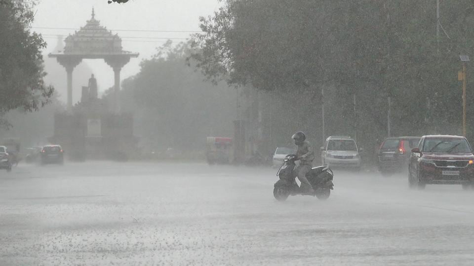
Cyclone Amphan battered Odisha and West Bengal in the east on May 20, causing widespread damage, but the India Meteorological Department (IMD) doesn’s expect a cyclone this time, said scientist Sunitha Devi, in charge of cyclones at IMD.
“ It will most likely be a monsoon depression or a low which will bring a lot of rain to central and east India including Odisha, Chhattisgarh and even Vidarbha. In some years such troughs form but not every year,” she said. Parts of Odisha, Chhattigarh and Vidarbha may receive extremely heavy rains (more than 20 cm a day), she said.
Cyclones normally don’t develop during the south-west monsoon, which is characterized by strong westerly winds in the lower troposphere (below 5 km) and very strong easterly winds in the upper troposphere (above 9 km). This results in a large vertical wind shear, which inhibits cyclones, according to Regional Specialised Meteorological Centre for Tropical Cyclones.
During the rainy season, low pressure systems form along the monsoon trough, which extends from northwest India to north Bay of Bengal. These systems have a short oceanic spell, which is also one of the reasons for inhibiting their development into cyclones.
“Odisha, Andhra will get very heavy rainfall first and then other parts of central India starting June 10 for the next three to four days. Monsoon depressions can cause a lot of rain so it is good for our monsoon,” said M Mohapatra, director general, IMD.
To be sure, cyclone NIsarga hit Alibaug in Maharashtra’s Raigad last week, bringing heavy rainfall to many parts of the state. In Raigad, the storm snapped power cables, and uprooted trees and electric poles.
“Monsoon doesn’t allow these systems to intensify though we had Nisarga in beginning of the monsoon season in the Arabian Sea, which is slightly unusual. All low-pressure systems in the Indian Ocean tend to move in west-northwest direction. They may or may not cross the coast,” said K Sathi Devi, head of the national weather forecasting centre.
The new low pressure will develop immediately after remnants of Nisarga disintegrate. The low pressure area was over Bihar and adjoining northeast Uttar Pradesh on Saturday. The south-west monsoon has advanced into some more parts of south interior Karnataka and Tamil Nadu, Puducherry, Karaikal; most parts of south-west Bay of Bengal, the entire south-east Bay of Bengal; some more parts of east-central Bay of Bengal and some parts of west-central and north-east Bay of Bengal, according to IMD. Conditions are becoming favourable for further advancement of the monsoon during next 2-3 days.
The monsoon is likely to cover most parts of Maharashtra; Odisha and peninsular India by June 10 and all of central India by June 20, Mohapatra said.
The average annual frequency of tropical cyclones in the north Indian Ocean (Bay of Bengal and Arabian Sea) is about five. The frequency is more in the Bay of Bengal than in the Arabian Sea, the ratio being 4:1. May-June and October-November are known to produce cyclones of severe intensity.


