
 E-Paper



Light rain, thunderstorms likely in northern plains from Friday to Monday
No significant change in maximum temperatures was likely in northwest India for the next two days before they were expected to fall by about 2-3°C

 Prefer HTon Google


An approaching western disturbance was expected to lead to isolated light rain and thunderstorms in the northern plains from Friday to Monday and keep maximum temperatures in the range of below 40°C in places such as Delhi.
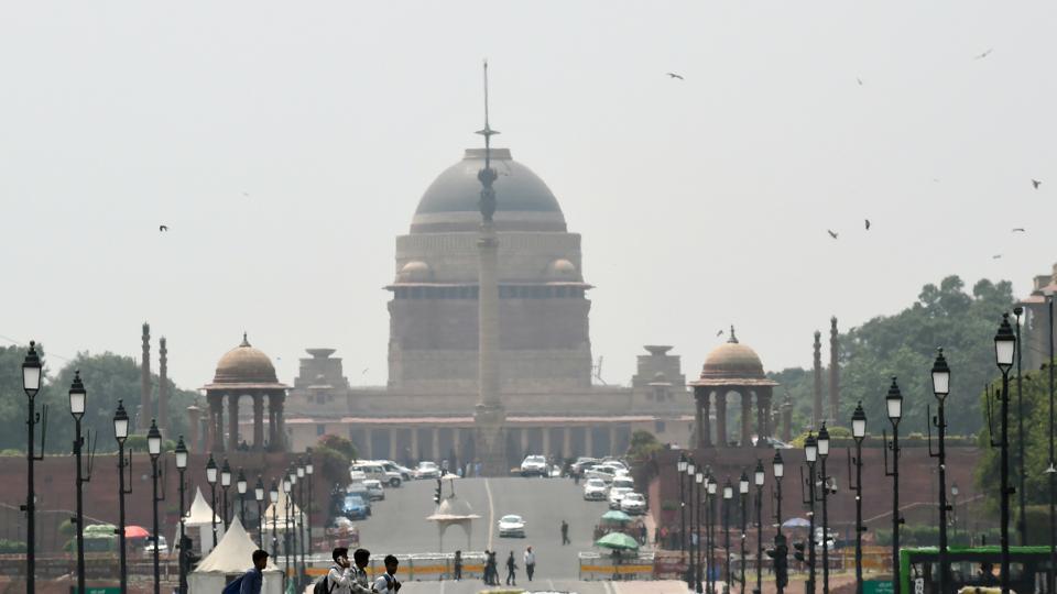
No significant change in maximum temperatures was likely in northwest India for the next two days. The temperatures were expected to fall by about 2-3°C thereafter.
The mercury has gone up in the range of 43-46°C in parts of Rajasthan and 40-43°C in some places in Madhya Pradesh, interior Gujarat, north-central Maharashtra, isolated pockets of Punjab, south Haryana, interior Tamil Nadu, north interior Karnataka, Marathwada, and Vidarbha. They have been above normal by 2-4°C in Rajasthan and 1-2°C in the remaining areas.
Heatwave conditions (temperatures exceeding maximum temperatures of 45°C) prevailed in parts of West Rajasthan on Wednesday with Barmer reporting the highest maximum temperature of 45.9°C. There have been hailstorms in parts of Madhya Pradesh and at isolated places in Himachal Pradesh, Uttarakhand, East Rajasthan, and Vidarbha.
Skymet Weather vice president (climate and meteorology) Mahesh Palawat said maximum temperatures have dropped below 40°C in Delhi and they do not foresee any heat wave conditions setting in over the region immediately. “They [maximum temperatures] will remain in this range for the next few days due to the thunderstorm activity expected during the weekend,” said Palawat.
The India Meteorological Department (IMD) said cyclonic circulations were lying over northeast and northwest Rajasthan at lower tropospheric levels. It added scattered to fairly widespread rainfall activity accompanied by thunderstorms, lightning, and gusty winds (30-40 kmph) were likely in Jammu-Kashmir-Ladakh-Gilgit-Baltistan-Muzaffarabad, Himachal Pradesh, and Uttarakhand until May 13.
Hailstorm activity is likely at isolated places over Uttarakhand until May 13. Isolated light to moderate rainfall accompanied by thunderstorms, lightning, and gusty winds (30-40 km per hour) is likely in Haryana-Chandigarh, and Punjab from May 10 to 13. Similar weather was expected in Uttar Pradesh from May 9 to 13 and Rajasthan from May 10 to 12.
Dust storms and thunderstorms with gusty winds (30-40 km per hour) are very likely in East Uttar Pradesh until May 13, Rajasthan from May 10 to 13, West Uttar Pradesh from May 11 to 13, and Haryana-Chandigarh until May 13. Strong surface winds (30-40 kmph) are very likely in the plains of northwest India during the next three days, IMD said.
Cyclonic circulations were also lying over east Bangladesh and northeast Assam. A trough was running from east Assam to north Odisha in lower tropospheric levels. Under their influence, widespread light to moderate rainfall accompanied by thunderstorms, lightning and squally winds (40-50 km per hour) were likely in West Bengal and Sikkim until May 12. Scattered to fairly widespread rainfall accompanied by thunderstorms, lightning, and gusty winds (40-50 km per hour) were expected in Bihar, Jharkhand, Odisha until May 12.


