
 E-Paper



Rain, thunderstorms likely in several regions from today onwards. Details here
Isolated rainfall is likely over multiple regions in western and north-western India, ranging from Punjab, Haryana, Delhi to Rajasthan and Uttar Pradesh.

 Prefer HTon Google


The India Meteorological Department (IMD) has predicted bad weather, induced by a fresh western disturbance and the accompanying cyclonic formation, in several parts of India from today onwards. According to the MeT department, light to fairly moderate widespread rainfall and snowfall is likely over the western Himalayan region – the Jammu division and Himachal Pradesh – from December 26-29, with isolated thunderstorms and lightning possible on Sunday.
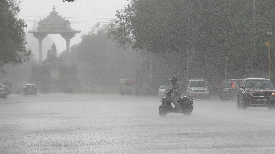
Moreover, isolated rainfall is also likely over multiple regions in western and north-western India, ranging from Punjab, Haryana, Delhi to Rajasthan and Uttar Pradesh.
Here's what the IMD predicts in the weather department for the next couple of days:
Western Himalayan region: Over the Jammu division and Himachal Pradesh, light/moderate rainfall to fairy widespread/scattered rainfall and accompanying snowfall is likely on December 26-29.
Punjab, Haryana, Chandigarh, Delhi: Light to moderate isolated and scattered rainfall is likely during December 26-29. Isolated thunderstorm and lightning, with an accompanying hailstorm, possible on December 28.
Rajasthan: Light to moderate isolated and scattered rainfall is likely during December 27-28.
Uttar Pradesh: Scattered to fairly moderate rainfall is likely during December 27-29.
Madhya Pradesh: Light to moderate isolated and scattered rainfall is likely during December 27-29. Isolated thunderstorm and lightning, with an accompanying hailstorm, possible on December 28 in western Madhya Pradesh, Vidarbha, and Marathwada.
Odisha: Light to moderate isolated and scattered rainfall is likely during December 27-29.
Vidarbha, Chhattisgarh, Bihar, Jharkhand, and Gangetic West Bengal: Light to moderate isolated and scattered rainfall is likely during December 27-29.
-
Meanwhile, the minimum temperature at most places in Kashmir dipped this week, ahead of the predicted rains and snowfall. The Kashmir valley is currently under the grip of the 40-day harshest winter period known as ‘Chilla-i-Kalan’ which began on Tuesday.
Srinagar recorded a low of 1.7 degrees Celsius on Friday night – down from Thursday night's 2.4 degrees Celsius. The nearby south Kashmir town of Kokernag recorded a low of minus 1.0 degrees Celsius.
While many areas in the valley received snowfall on Thursday, the MeT office has said a spell of greater intensity than that is most likely to occur over two days from Sunday. The chances of snowfall are the most frequent and maximum during this period and most areas, especially in the higher reaches, receive heavy to very heavy snowfall.


