
 E-Paper



More rainfall? IMD says monsoon now in weak phase
Rainfall in August and September is usually 42.8 cm, according to data between 1971-2020.

 Prefer HTon Google


The south-west monsoon has entered a weak phase after 5% excess precipitation in July marked by extreme rainfall in some areas including Himachal Pradesh, Uttarakhand, the northern plains and Saurashtra, the India Meteorological Department said on Sunday, which will likely see subdued rain in central and peninsular India.
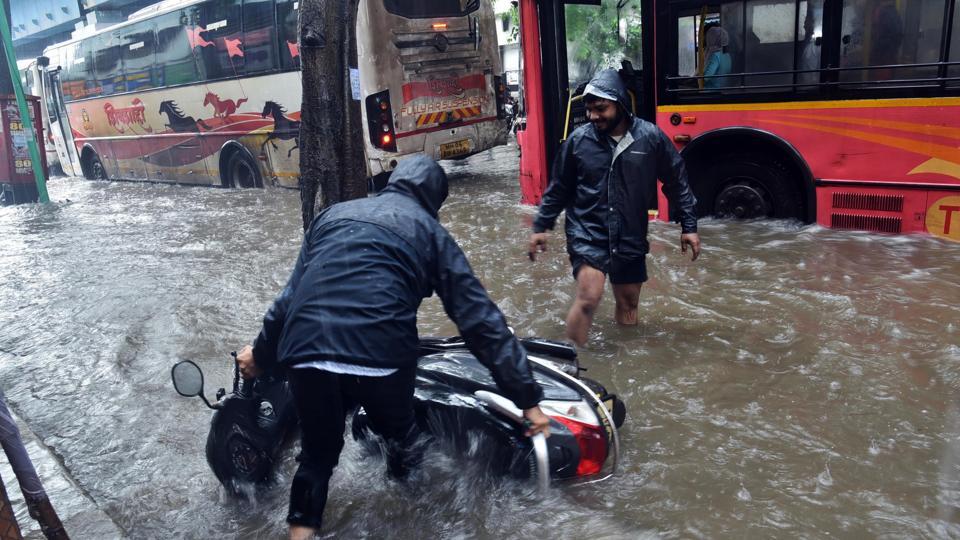
“The monsoon has now entered a weak phase. We have seen a vigorous and active phase of monsoon throughout July, and with intra-seasonal variation, a weak phase is expected following an active phase. In the background, El Nino conditions have also set in,” said M Mohapatra, director general of the Met department. “For the next one week at least, there will be subdued rainfall over peninsular and central India. There will be rainfall over the Himalayan foothills and northeastern states. We are hoping that there will be rainfall over eastern states facing rain deficiency such as Bihar, West Bengal, Jharkhand and parts of Uttar Pradesh.”
Rainfall in August is likely to be below normal, ranging between 90% to 94% of the long-period average, the weather bureau had predicted on July 31. Rainfall in August and September is usually 42.8 cm, according to data between 1971-2020; August alone sees 25.49 cm of precipitation.

Subdued rainfall likely to over central and peninsular India in the next 4-5 days, the weather office said in its Sunday bulletin. Isolated heavy rainfall is likely in the Himalayan foothills in Uttarakhand, northern Uttar Pradesh, Bihar, West Bengal and Sikkim, and over northeast India during the next 4-5 days.
A cyclonic circulation is lying over southern Bihar at lower tropospheric levels. The monsoon trough is lying to the north of its normal position. It is likely to be north of its normal position or along the foothills of Himalayas in the next 3-4 days.
“The weak/break monsoon phase starts now, may extend for 2 weeks. Rains over extreme north India & dry spell over rest of country. After an extended active phase, now an extended break phase. Climate change causes larger variability, heavy rains & breaks,” tweeted meteorologist M Rajeevan, former secretary at the earth sciences ministry.
“Weak conditions likely at least up to 20 August. It is definitely an El Niño impact,” said Rajeevan.
“During weak monsoon phase, monsoon trough moves close to Himalaya & rains are confined to foothills, NE India, Nepal & Bhutan. Chances of floods in Assam. Since it will be raining heavily in Nepal, chance of floods in Bihar also. Be prepared,” he added.
Till August 6, there was 3% excess rainfall over the country, with 23% deficiency over eastern and northeastern India; 22% excess over northwestern India; 13% excess over central India and 3% deficiency over peninsular India. States with the highest rain deficiency include Bihar (minus 46%), Jharkhand (minus 37%) and Gangetic West Bengal (minus 32%). Nagaland, Manipur, Mizoram and Tripura together have a 30% deficiency.
The El Nino, an unusual warming of waters in the eastern equatorial Pacific, is expected to intensify in August, which could lead to weaker monsoon rains. Currently, weak El Niño conditions are prevailing but will likely intensity and continue up to early next year, according to the latest Monsoon Mission Coupled Forecasting System and other climate forecasts, the weather office said on July 31.



