
 E-Paper



Widespread, heavy rain in most parts of northwest India till July 30: IMD
There is a cyclonic circulation over northwest Madhya Pradesh and neighbourhood. The western end of the monsoon trough at mean sea level is running along its normal position while its eastern end runs close to the normal position

 Prefer HTon Google


There is likely to be widespread and heavy rain over most parts of northwest India till July 30 according to India Meteorological Department (IMD), which also issued a moderate rain warning for many parts of Delhi on Tuesday early morning for the next few hours.
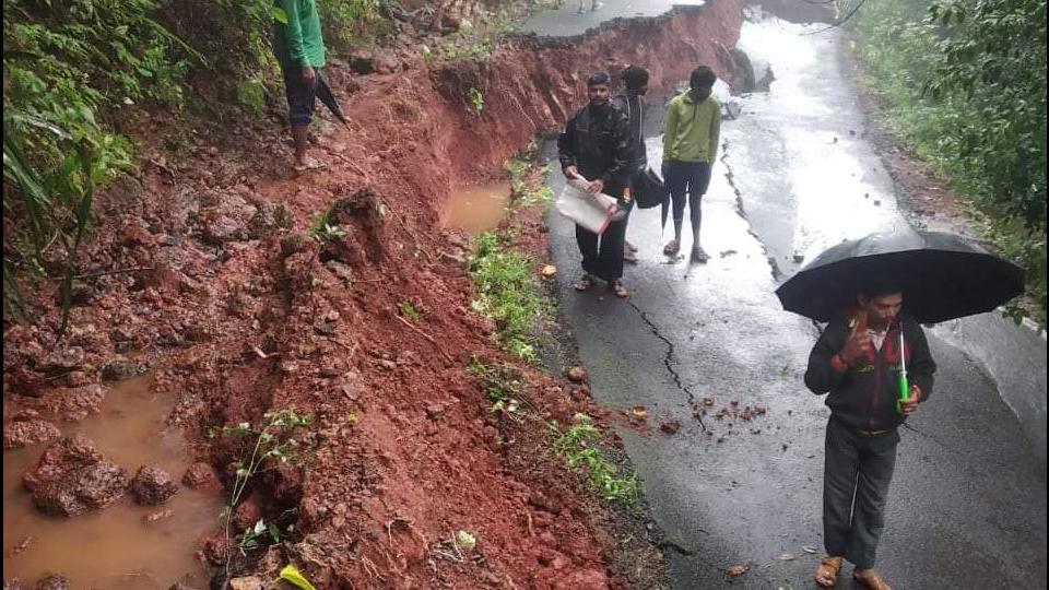
There is a cyclonic circulation over northwest Madhya Pradesh and neighbourhood. The western end of the monsoon trough at mean sea level is running along its normal position while its eastern end runs close to the normal position. The western end is likely to shift northward during the next 24 hours, bringing heavy rain to the Himalayan foothills
A cyclonic circulation is lying over north Bay of Bengal and neighbourhood at mid and upper tropospheric level. Under its influence, a low pressure area is likely to form over north Bay of Bengal and its neighbourhood around July 28. Widespread rainfall activity with isolated heavy to very heavy falls is very likely over Jammu & Kashmir, Himachal Pradesh, Uttarakhand, Punjab, Haryana, Chandigarh, and Uttar Pradesh till July 29 and will reduce thereafter. Isolated extremely heavy rain (over 20 cm) is also likely over Himachal Pradesh and Uttarakhand on July 27 and 28 and over northwest Uttar Pradesh on July 27, 2021.
Also Read | Delhi weather: Early morning showers bring relief from humidity
Widespread rainfall with isolated heavy falls is very likely over Konkan, Goa, Ghat areas of Madhya Maharashtra during the next three days and will increase to isolated heavy to very heavy falls over the region from July 29.
Enhanced rainfall activity with isolated heavy to very heavy falls is likely over east and adjoining Central India (Odisha, Gangetic West Bengal, Jharkhand and Bihar) from today.
Satellite imagery shows moderate to intense convection over parts of north Punjab, South Himachal Pradesh, Haryana, Chandigarh & Delhi, Bihar, Sub-Himalayan west Bengal and Sikkim, Jharkhand, Arunachal Pradesh, Assam & Meghalaya, Manipur, Mizoram, North Chhattisgarh, north Odisha, East Rajasthan, West Madhya Pradesh and southeast Madhya Pradesh. It leads to the possibility of thunderstorm with lightning and spell(s) of light to moderate rainfall at isolated places over these areas during a couple of hours.


