
 E-Paper



DDA seeks ISRO help to track its vacant land parcels
The DDA is undertaking a survey to have an online record of its lands and keep a check on encroachments. For this, the land-owning agency enlisted the help of the Regional Remote Sensing Centre (RRSC), a part of the National Remote Sensing Centre -- an arm of Indian Space Research Organisation (ISRO) in 2018.


The Delhi Development Authority (DDA) has revived work on GIS mapping all its vacant land parcels in a bid to protect the land from encroachment. The survey will be completed by next year, said a DDA official in the know of the matter.
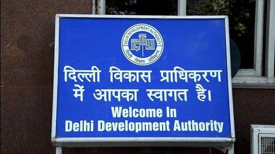
The survey is part of the DDA’s project to have an online record of its lands and keep a check on encroachments. For this, the land-owning agency enlisted the help of the Regional Remote Sensing Centre (RRSC), a part of the National Remote Sensing Centre (an arm of Indian Space Research Organisation) in 2018.
A senior DDA official said on condition of anonymity, “We are currently mapping the vacant land. Our teams are doing ground surveys to mark latitude and longitude of each land parcel. With the help from ISRO’s RRSC, we will be developing a mobile application through which we can check on any unauthorised construction on our land.”
A second DDA official said the ISRO has provided satellite images from 2006-2018. “The images will be useful not only in checking encroachments but also in planning future developments in the city, especially the implementation of schemes such as land pooling and PM-UDAY ( a scheme to confer ownership rights to residents of unauthorised colonies),” said the official, asking not to be named.
The official further said, “DDA officials said an agency has been enlisted to carry out the GIS survey. There are over 3,500 vacant land parcels with the DDA. During the survey, we will also get to know about the extent of encroachments on our land.”
While work on the project started in 2018, DDA officials said the pace of work was affected by the Covid-19 pandemic. The land-owning agency is putting in place a computerised system to detect encroachments using the satellite images provided by ISRO.
“It is a big project as we plan to take all land data online. Not much work could be done due to the pandemic. We have been able to do GIS mapping of just a few areas so far, but we plan to expedite the process,” said the official.
Encroachment on its land has been a major problem for the DDA. A few years ago, the agency started a system to upload pictures of vacant land on a monthly basis to check on encroachments.

Stay updated with all top Cities including, Bengaluru, Delhi, Mumbai and more across India. Stay informed on the latest happenings in World News along with Delhi Election 2025 and Delhi Election Result 2025 Live, New Delhi Election Result Live, Kalkaji Election Result Live at Hindustan Times.


