
 E-Paper



Uttar Pradesh govt seeks 3 months for Hindon demarcation
NOIDA: The Uttar Pradesh irrigation department has told the National Green Tribunal (NGT) that the demarcation of the Hindon river floodplain is still incomplete and sought three more months to finish the process

 Prefer HTon Google


NOIDA: The Uttar Pradesh irrigation department has told the National Green Tribunal (NGT) that the demarcation of the Hindon river floodplain is still incomplete and sought three more months to finish the process.
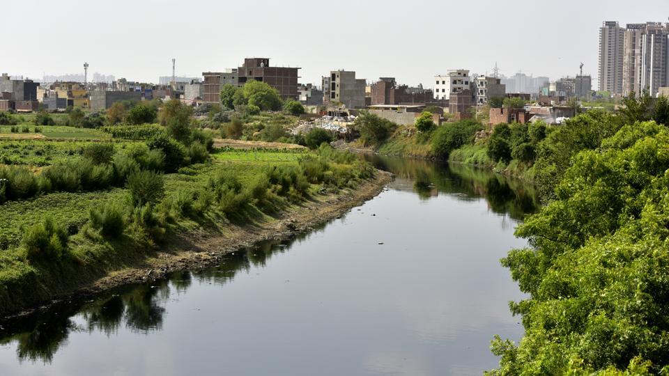
It said the demarcation of some patches were delayed due to “improper data” supplied by the Survey of India. It has also sought permission to complete the remaining work in coordination with the National Highways Authority of India (NHAI), instead of the Survey of India.
A bench, comprisingNGT chairperson Justice Prakash Shrivastava and expert member Afroz Ahmad, recorded that the demarcation exercise was yet to be completed and the state had sought a three-month extension.
The order stated,“Pinaki Mishra, learned senior counsel appearing for the irrigation department, has submitted that the demarcation of Hindon river floodplain on some patches has been held up on account of improper data supplied by the Survey of India.”
The department said it was ready to carry out the exercise with the NHAI. It will file an application seeking modification of the tribunal’s March 12, 2024 order within two weeks, with an advance copy to the Survey of India and other parties concerned.
HT had earlier reported that the NGT sought an explanation from the state over the delay. The Survey of India, meanwhile, had said the required geospatial data had been shared with the state.
The irrigation department also informed the tribunal that demarcation of the Yamuna floodplain in Gautam Budh Nagar has been completed, including the remaining 3-km stretch upstream of the Okhla barrage.
The August 31 status report said, “The remaining stretch of 3 km in the upstream of Yamuna river in Gautam Budh Nagar district has also been demarcated.”
For the remaining stretch, the department used a Survey of India map with a 0.500-metre contour interval. It calculated the coordinates by marking the maximum flood level based on Central Water Commission data on maximum floods recorded over the last 100 years.
The department had sought the Survey of India’s cooperation through a letter dated April 15, 2026. The agency declined to cooperate in a May 7 letter, after which the irrigation department completed the demarcation by installing 13 boundary pillars and submitted photographs of the pillars to the tribunal.
The department will now file its modification application for the Hindon demarcation within two weeks. The matter has been listed for October 6, 2026.


Stay updated with all the Breaking News and Latest News from Mumbai. Click here for comprehensive coverage of top Cities including Bengaluru, Delhi, Hyderabad, and more across India along with Stay informed on the latest happenings in World News.


