
 E-Paper



India rejects Nepal’s objection over map
On Wednesday, Nepal’s foreign ministry had protested against the depiction of Kalapani as part of Pithoragarh district in Uttarakhand.

 Prefer HTon Google


India on Thursday rejected Nepal’s protest over the depiction of the Kalapani region in the new maps it released last week, saying the maps accurately portrayed the country’s sovereign territory and that New Delhi was committed to an exercise to delineate the boundary.
On Wednesday, Nepal’s foreign ministry had protested against the depiction of Kalapani as part of Pithoragarh district in Uttarakhand.
“Nepal is clear that the Kalapani area lies within Nepalese territory,” the ministry said in a statement in Nepalese.
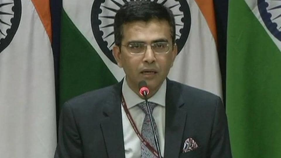
Answering a question on the issue during a weekly news briefing, external affairs ministry spokesperson Raveesh Kumar said: “Our map accurately depicts the sovereign territory of India. The new map has in no manner revised our boundary with Nepal.”
The exercise of delineating the boundary with Nepal is “ongoing under the existing mechanism” and India is committed to finding a solution “through dialogue in the spirit of our close and friendly bilateral relations”, he said.
The statement by Nepal’s foreign ministry said both sides had tasked their foreign secretaries to resolve remaining border-related issues in consultation with technical experts.
It added that Nepal was committed to protecting its international border and any boundary-related issue should be resolved through diplomatic channels on the basis of historical documents and evidence.
Without giving details, Kumar said “vested interests” could use the Kalapani issue to cause differences between the two countries. “At the same time, both countries should guard against vested interests trying to create differences between our two countries,” he said.
Kalapani, which is a disputed region between India and Nepal, was depicted as part of Uttarakhand in new maps issued by India showing the Union territories of Jammu and Kashmir, and Ladakh that were carved out of the erstwhile state of Jammu and Kashmir.
Nepal claimed the area as part of its Darchula district. The region has been controlled by the Indo-Tibetan Border Police since the 1962 war with China.


