
 E-Paper



Monsoon progress continues to be slow
The northern limit of monsoon continues to pass through Diu, Surat, Nandurbar, Bhopal, Nowgong, Hamirpur, Barabanki, Bareilly, Saharanpur, Ambala and Amritsar


Monsoon hasn’t progressed in the past couple of days mainly due to approaching mid latitude westerlies which have weakened the monsoon winds over northwest India.
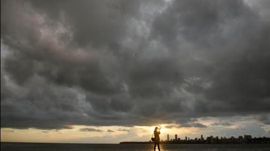
Monsoon has so far advanced into the entire peninsular India; east central; east and northeast India and some parts of northwest India. It progressed very quickly over most parts of the country in the span of only ten days mainly due to active monsoon circulation and formation of a low-pressure area over Bay of Bengal.
“Due to approaching of mid-latitude westerlies winds, further progress of monsoon over remaining parts of northwest India is likely to be slow. The progress of monsoon is being monitored continuously and further update will be provided on daily basis,” IMD said on Wednesday in it’s bulletin.
Also Read | Rain lashes various parts of Mumbai, Thane
The northern limit of monsoon (NLM) continues to pass through Diu, Surat, Nandurbar, Bhopal, Nowgong, Hamirpur, Barabanki, Bareilly, Saharanpur, Ambala and Amritsar.
A low pressure area which had formed over Bay of Bengal is lying over east Uttar Pradesh and adjoining Bihar while the trough is running from northwest Rajasthan to northwest Bay of Bengal across Haryana and southwest Uttar Pradesh.
Under the influence of these systems, widespread rain with isolated thunderstorms and lightning is likely over most parts of east, central and northeast India during the next 4-5 days. Isolated thunderstorms and lightning is likely over most parts of northwest India during the next two days and decrease in rainfall activity thereafter, except over east Uttar Pradesh where fairly widespread rain is likely to continue during the next 4-5 days.
Under the influence of an offshore trough, running from north Maharashtra coast to north Kerala coast, widespread rain with isolated heavy to very heavy rain, thunderstorm and lightning is likely over south Konkan, Goa, Karnataka and Kerala and Mahe during the next three days.
“We are expecting a 7-10 days’ delay from now. There is no monsoon activity over west UP now. There is a trough (area of low pressure) in the westerlies which is affecting the easterly wind flow. Monsoon winds are reaching only up to east UP. We don’t expect progress in the next 7-10 days to the rest of northwest India. There may be some thunderstorm activity but moisture is very low,” said Kuldeep Shrivastava, head of IMD’s regional weather forecasting centre.
Last week, following monsoon’s rapid progress to some parts of northwest India, IMD had announced that it is likely to hit Delhi between June 12 and 15. The normal date for monsoon arrival in Delhi is June 27.


