
 E-Paper



Strong winds, thundershowers likely in northwest India over next 2 days: IMD
IMD’s Sunday bulletin said due to strong southeasterly and easterly winds from May 3 to 6 in the lower levels over northern plains of India.


Thundershowers and hailstorms have started affecting several parts of northwest India as forecast by the India Meteorological Department (IMD) last week. Strong winds and thundershowers is likely to continue impacting the region on Monday and Tuesday due to an intense western disturbance and moisture incursion from both the Arabian Sea and the Bay of Bengal.
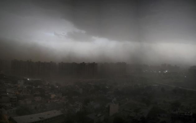
“There is heating in many parts of the country and (also) a lot of moisture incursion from the Arabian Sea. All conditions are favourable for thunderstorm activity over northwest India. Western Disturbances (WDs) pass through the region round the year but this time we are also seeing some intense WDs,” said M Mohapatra, the director general of IMD.
IMD’s Sunday bulletin said due to strong southeasterly and easterly winds from May 3 to 6 in the lower levels over northern plains of India, along with fresh moisture incursion from both the Arabian Sea and the Bay of Bengal, fairly widespread rain and thunderstorms as well as lightning and gusty winds (30-40 kmph) is likely over this region. Peak activity over the Western Himalayas is likely on May 4 and 5, while peak activity over the northern plains, including Uttarakhand, Haryana, Chandigarh, Delhi and western Uttar Pradesh is likely on May 5.
“Already hailstorm has started impacting south Haryana and some parts of Rajasthan. Rest of the northern states are experiencing thunderstorms and rain. This year we had a pattern of unusually high number of WDs since January, when there were nine WDs against a normal of three-four. In April there were seven WDs,” said Kuldeep Shrivastava, head of regional weather forecasting centre. “It’s too early to link it with climate change. We have to see if this pattern sustains for a few years,” he added.
Scientists earlier told HT that such changes in the WD pattern may be due to weather anomalies in Europe, because WDs originate as low-pressure systems in the Mediterranean or they could also be linked to favourable sea temperatures over the Pacific.
The maximum temperature on May 2 reached 44 to 45 degrees C in parts of Vidarbha, Marathwada and southwest Madhya Pradesh. Heat wave conditions are likely to develop over these areas in the next three-four days, according to IMD. Also, Cyclone ‘Amphan’ may develop over the south Andaman Sea in the next three-four days


