E-Paper


Hurricane Erin update: Dare County, NC declares state of emergency; Hatteras Island to be evacuated
Hurricane Erin could bring gusty winds and flooding tides which could wash out portions of the highway that connect North Carolina Outer Banks by midweek.

 Prefer HTon Google


Hurricane Erin might have weakened to a Category 3 for now, but forecasters have warned that the storm is rapidly growing in size and would regain strength. As Erin approaches, North Carolina's Dare County has issued a state of emergency for all areas and issued evacuation orders for Hatteras Island.
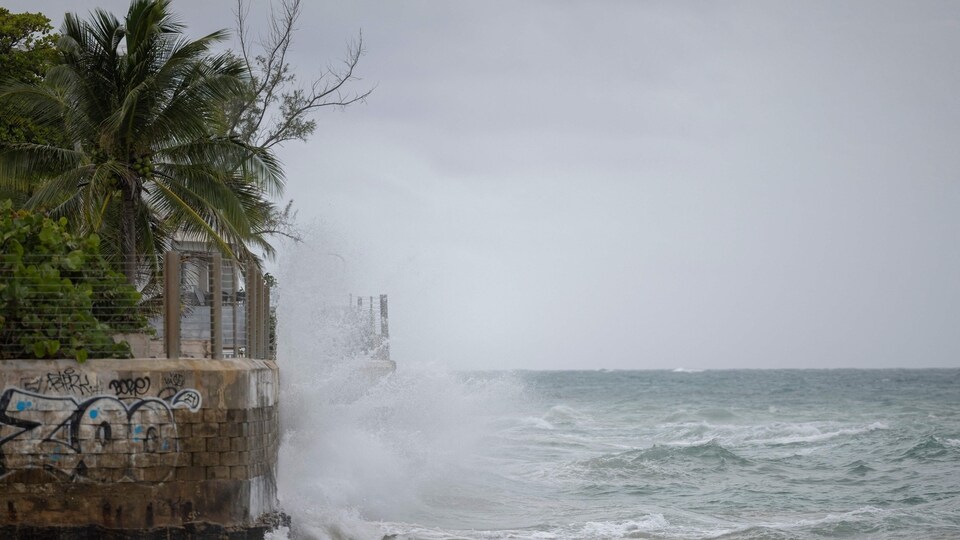
While Erin isn't expected to directly impact the East Coast, it could bring rip currents all along the coast if it doubles or triples in size. Further, gusty winds and flooding tides which could wash out portions of the highway that connect North Carolina Outer Banks by midweek are likely, as per the National Weather Service.
Here's what the Dare County advisory says about Erin.
State of Emergency in Dare County
A coastal flood watch has already been issued and coastal flooding and ocean overwash is expected to begin by Tuesday, August 19, the statement read. It is expected to continue through August 21.
Also Read | Terrifying beauty of Hurricane Erin’s eye: ‘Stadium effect’ video takes over X
“Portions of N.C. Highway 12 on Hatteras Island will likely be impassable for several days,” authorities said. A state of emergency has also been declared for all areas of Dare County.
These include the Duck, Southern Shores, Kitty Hawk, Kill Devil Hills, Nags Head and Manteo municipalities.
Hatteras Island evacuation
There is a mandatory evacuation order for Hatteras Island (Zone A). This includes the unincorporated villages of Rodanthe, Waves, Salvo, Avon, Buxton, Frisco, and Hatteras as well.
All visitors in Zone A have been asked to start evacuating at 10:00 am Monday night, August 18. Residents in Zone A have to start evacuation at 8:00 am on Tuesday, August 19.
Erin, the first Atlantic hurricane of 2025, reached an exceedingly dangerous Category 5 status Saturday with maximum winds of 160 mph (260 kph) before weakening. The storm's maximum sustained winds were 125 mph (205 kph) Sunday afternoon, according to the National Hurricane Center in Miami.
The winds decreased as the storm went through internal changes. Erin is expected to remain powerful for the next several days and is expected to strengthen somewhat over the next 48 hours as it grows, forecasters said Sunday afternoon.
(With AP inputs)