
 E-Paper



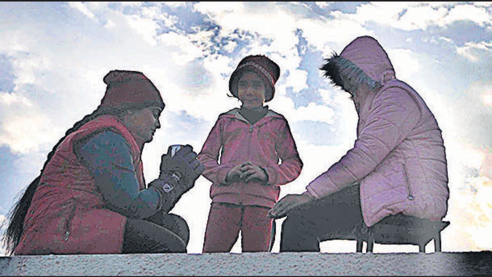
Chandigarh reels under biting cold
Chandigarh’s minimum temperature stayed at 3.3°C, only slightly higher than 3.2°C on Sunday and three notches below normal

 Prefer HTon Google


The cold wave continued in the city for the second consecutive day on Monday, with the minimum temperature staying at 3.3°C, only slightly higher than 3.2°C on Sunday and three notches below normal.
At 18.9°C, the maximum temperature also rose marginally from 18.7°C on Sunday, but was still two degrees below normal.
According to the India Meteorological Department (IMD), due to clear skies and no fog, the temperature stayed low on the intervening night of Sunday and Monday.
A cold wave is declared in the plains when the minimum temperature goes below 4°C. It is also declared when the minimum temperature is 10°C or below and also 4.5 notches lesser than the season’s normal for two consecutive days.
Meanwhile, the city may get some rain later this week with two western disturbances expected from Wednesday.
“Two western disturbances will affect the city one after the other from Wednesday onwards. While some rain is likely in the region, it’s too early to say if Chandigarh will see any precipitation. But the cloud cover will help increase the night temperature. Fog formation can also be expected in the morning from Thursday onwards,” said an IMD official.
Over the next three days, the day temperature may rise to 20°C, while the minimum temperature will remain between 4°C and 7°C.


