
 E-Paper



Western Disturbances to keep mercury from climbing in Chandigarh this week
A western disturbance (WD) is also currently active in the city, however rain is unlikely and dry weather is also expected to continue through the week


Peak April heat is still a few days away, as Western Disturbances (WD) are likely to keep temperatures from rising much this week.
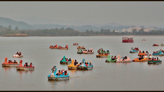
As per the India Meteorological Department (IMD), a WD is already active in the city and another is likely around April 10. While the sky will remain cloudy because of this, rain is not on the cards.
The system will, however, lead to cooler winds, which will keep the temperature on the lower side in the region. Thus, the maximum temperature is unlikely to cross 35°C through the week.
In comparison, last year, in the second week of April, the maximum temperature had crossed 37°C and even shot up to 40°C on April 17.
Heatwaves will also remain unlikely for now. For heatwaves in this region, maximum temperature has to go over 40°C and be over 4.5°C above normal.
On Sunday, the maximum temperature rose slightly from 33.5°C the previous day to 33.8°C, 0.8 degree above normal.
The minimum temperature remained unchanged between Saturday and Sunday at 16.7°C, staying 2 degrees below normal. Due to cloudy weather, it is expected to increase and can cross 20°C towards the end of the week.
Over the next three days, the maximum temperature will stay below 35°C and the minimum temperature will hover around 18°C.
IMD Chandigarh director AK Singh said with changing seasons, the rise in temperature was expected and the maximum temperature was likely to keep climbing week-by-week.


