
 E-Paper



Irrigation dept maps Gomti’s vulnerable stretches for flood protection
The exercise follows Chief Minister Yogi Adityanath’s directions on the first week of October this year to strengthen flood protection after the Gomti’s rising water level inundated Faizullaganj and several other localities, affecting thousands of households.

 Prefer HTon Google


After thousands of residents suffered the brunt of Gomti river flooding in Lucknow earlier this year, the irrigation department has begun identifying vulnerable stretches along the river for embankment construction. The department has surveyed around five kilometres near IIM Road so far and aims to complete the exercise by the first week of December, said a senior official Irrigation department.
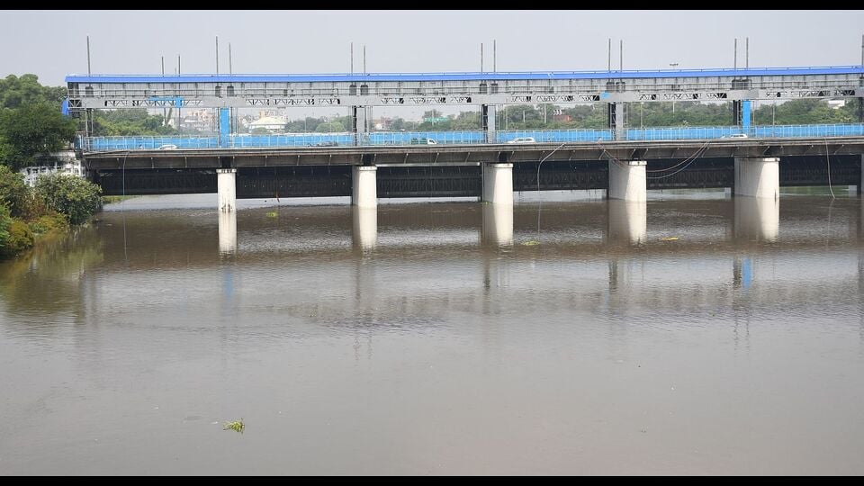
The exercise follows Chief Minister Yogi Adityanath’s directions on the first week of October this year to strengthen flood protection after the Gomti’s rising water level inundated Faizullaganj and several other localities, affecting thousands of households. However, the survey has also brought another challenge to the fore: the presence of populated settlements along the river, which could influence the proposed embankment alignment.
Senior officials of the irrigation department on the condition of anonymity said multiple divisions are conducting the survey across different stretches from Lucknow to Sitapur, including areas falling under Sitapur. Once the teams complete the exercise, the department will compile their findings and prepare a comprehensive report.
Officials said the teams are examining the river’s cross-sections to establish its width, course and the extent to which water can spread when the river’s level rises. The exercise will help identify vulnerable locations and determine the stretches that require protective embankments.
“During the survey, we have come across populated areas along the river. More such settlements may emerge as the exercise progresses. We will assess the ground situation before deciding the alignment and extent of the proposed embankment,” a senior irrigation department official said.
Populated stretches could shape embankment alignment
The department will undertake demarcation after completing the survey. Officials will then map the river’s boundaries, identify vulnerable stretches and assess how many houses and residents fall within the proposed embankment corridor. Only after this exercise will the department finalise the locations and extent of construction.
The presence of settlements along the river makes the demarcation exercise particularly significant, as the proposed protective structures will have to account for existing habitation and ground conditions.
Officials said that, apart from an existing embankment of around two kilometres at Naimisharanya, no other stretch covered under the proposed survey has a similar protective structure.
44-km river stretch through Lucknow under focus
The Gomti flows for approximately 44 kilometres through Lucknow. The larger river corridor from IIM towards Naimisharanya extends to around 130 kilometres, according to officials.
After completing the survey, the department will prepare a detailed proposal and identify the stretches where embankments can be constructed within the city.
Officials said that the exercise is expected to provide the administration with a clearer picture of the river’s vulnerable stretches and the settlements exposed to flooding.


