
 E-Paper



Noida to launch topographic survey to expand land bank, curb encroachment
Officials said the data will help detect encroachments, expand the city’s land bank and support well-planned development ahead of Jewar airport opening.

 Prefer HTon Google


The Noida authority on Friday announced plans to conduct a detailed topographic survey to facilitate the development of new sectors, expand its land bank, and curb encroachments on government land earmarked for planned growth. The project aims to accurately map land to ensure sustainable, well-planned development in this rapidly expanding satellite city, where investor interest has surged ahead of the Noida international airport, scheduled to be operational by the end of 2025, officials said.
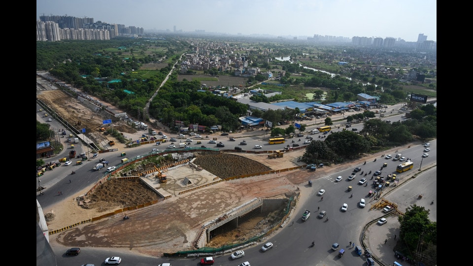
An expert agency will carry out the survey, providing comprehensive data on terrain surface, elevation, depth, and layout. “We will finalise the expert agency in the next couple of weeks, as the tendering process is already underway,” said Vijay Rawal, chief engineer, Noida authority.
The tender, scheduled to close on September 16, will be followed by the appointment of an agency responsible for delivering a precise report to guide future planning. Officials said the survey will establish the exact status of the authority’s land, enabling informed decision-making and ensuring efficient utilisation of resources.
The survey will focus on critical areas, including both sides of the expressway-adjacent drain from Sectors 144 to 148 and Sectors 162 to 150, as well as the Hindon River and internal drains near Sector 150. These zones are key for identifying vacant plots and assessing usability, with a particular focus on Sector 147, poised to emerge as a vibrant hub. The survey will also detect encroachments on notified lands, a persistent obstacle, and clarify the relationship between land availability and water bodies.
With Noida’s real estate and industrial sectors thriving, the authority aims to expand its land bank to meet growing demand. Advanced techniques, including GPS mapping, will ensure precision. Officials said the initiative marks a step toward smart urban planning, helping prevent haphazard growth and mitigating risks such as flooding from the Hindon River. By addressing encroachments and mapping water bodies, the project is expected to promote environmentally conscious and sustainable development across the city.


Stay updated with all the Breaking News and Latest News from Mumbai. Click here for comprehensive coverage of top Cities including Bengaluru, Delhi, Hyderabad, and more across India along with Stay informed on the latest happenings in World News.


