
 E-Paper



Monsoon could reach Delhi on June 24, conditions favourable, says IMD
The country has received more than the average rainfall so far as per the IMD.


The Indian Meteorological Department (IMD) has said that the SouthWest Monsoon is likely to further advance into some more parts of Madhya Pradesh, Uttar Pradesh and some parts of Uttarakhand around June 23 and in Haryana, Chandigarh, Delhi and most parts of Punjab during June 24-25 due to favourable conditions.
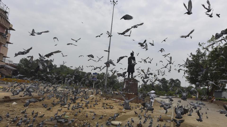
According to the special daily rain forecast issued by the national weather department, fairly widespread to widespread rainfall with isolated heavy to very heavy rainfall over northeast India is very likely to continue during the next 5 days. It adds that similar conditions may prevail and over east India and adjoining areas in central India during the next 2-3 days.
Also Read: Rains, cloudy weather keep mercury in check in Delhi
Giving further information about the expanse and advance of Monsoon, the IMD bulletin said that from June 23 onwards, widespread rainfall activity with isolated heavy to very heavy rain falls was also very likely over the western Himalayan region, Punjab, Haryana, Chandigarh, Delhi, Uttar Pradesh and East Rajasthan.
According to the National Weather Forecasting Centre cum Regional Meteorological Centre situated in New Delhi, the northern limit of Monsoon (NLM) continues to pass through Kandla, Ahmedabad, Indore, Raisen, Khajuraho, Fatehpur and Bahraich.
Also Read: Parts of UP receive rainfall; thunderstorm likely on Monday
“A cyclonic circulation extending up to mid-tropospheric level lies over north interior Odisha & neighbourhood. A trough runs from north Punjab to northwest Bay of Bengal in the lower tropospheric levels and it is likely to shift southwards during the next 3 days. As a result, strengthening of easterly wind and high moisture feeding from the Bay of Bengal is very likely over north India during the same period,” it says. The tropospheric layer is the lowest layer of earth’s atmosphere where all weather activity impacting the earth takes place.
It has also dealt out a warning for heavy to very heavy rainfall at isolated places over Chhattisgarh, Jharkhand and Odisha and heavy rainfall over isolated places in eastern Uttar Pradesh, eastern Madhya Pradesh, Bihar, sub-Himalayan West Bengal and Sikkim, Arunachal Pradesh, Assam and Meghalaya, Nagaland, Manipur, Mizoram, Tripura, Saurashtra and Kutch, Konkan and Goa, Telangana Coastal Karnataka, Tamil Nadu, Puducherry, Karaikal and Kerala and Mahe.
Thunderstorms are expected at isolated places over Uttarakhand, West Bengal and Telangana.


